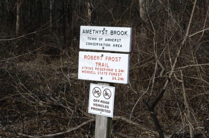
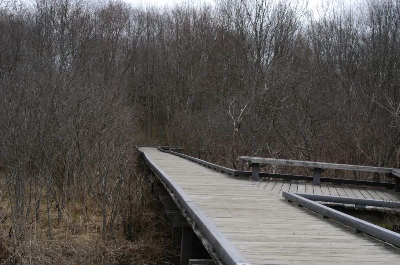
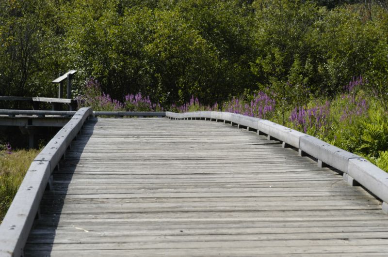
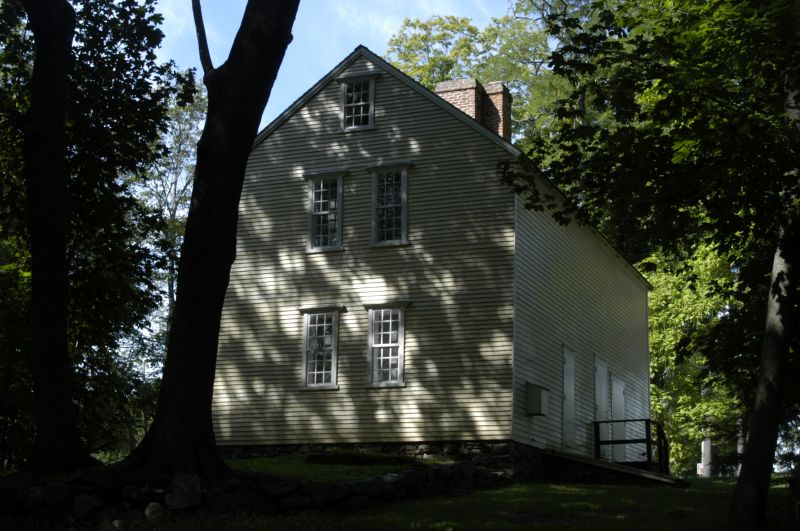
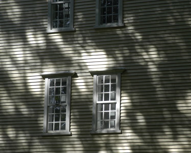
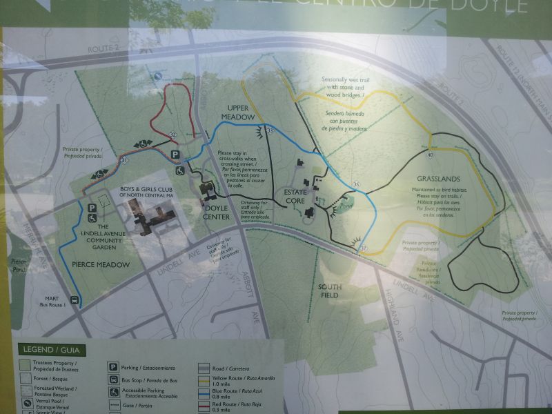
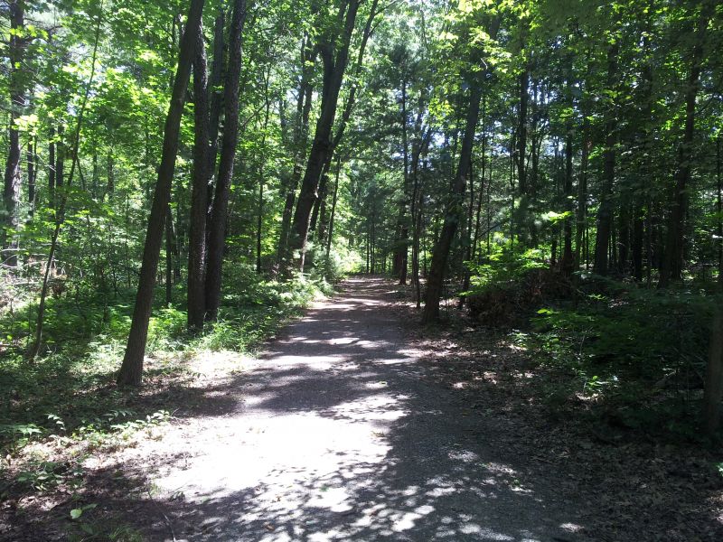
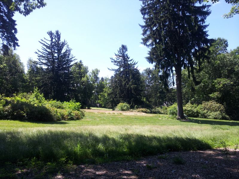
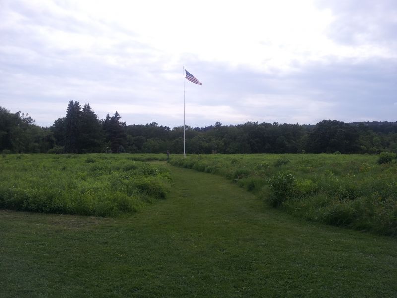
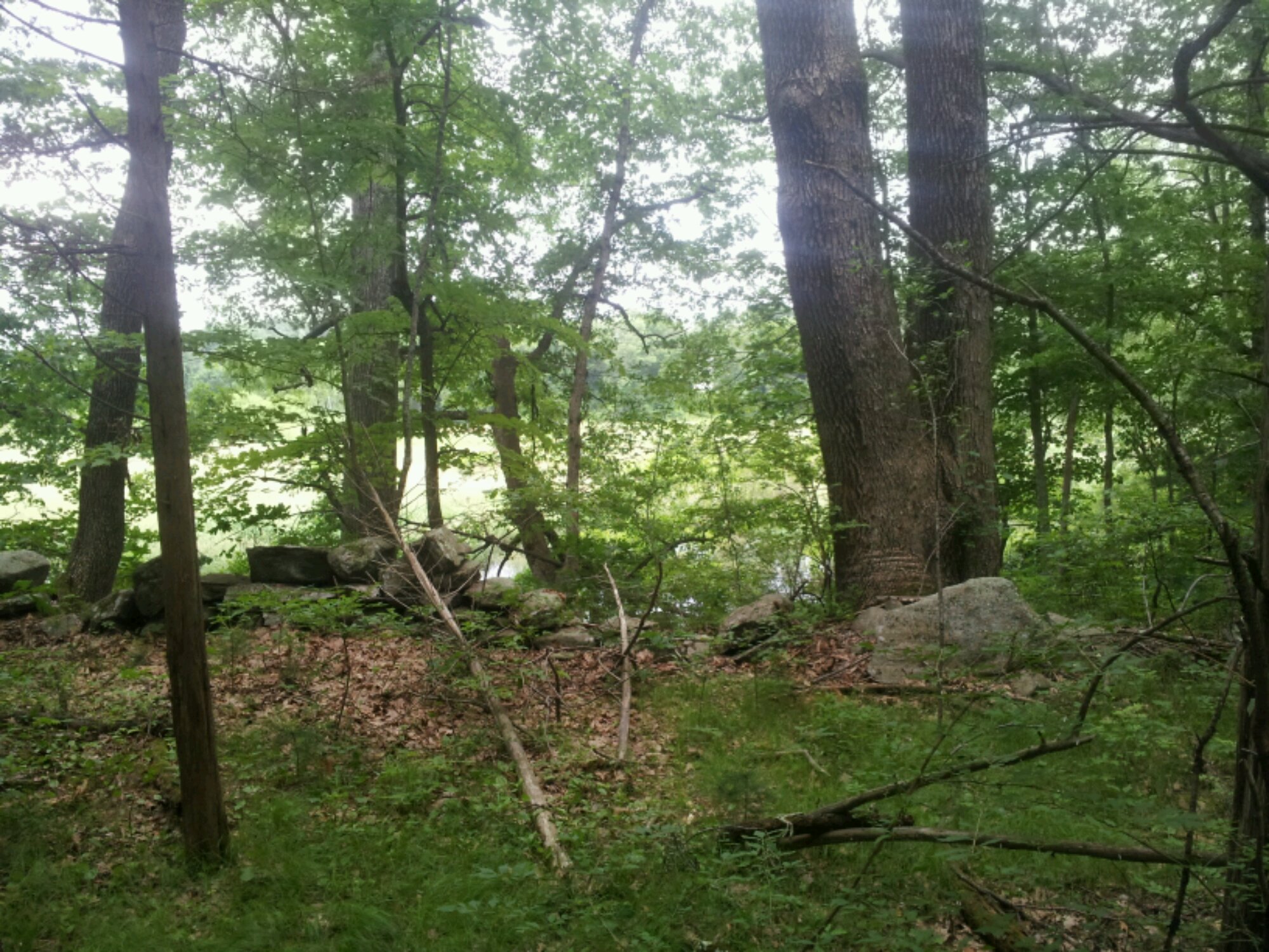
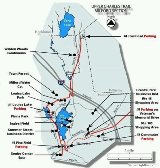
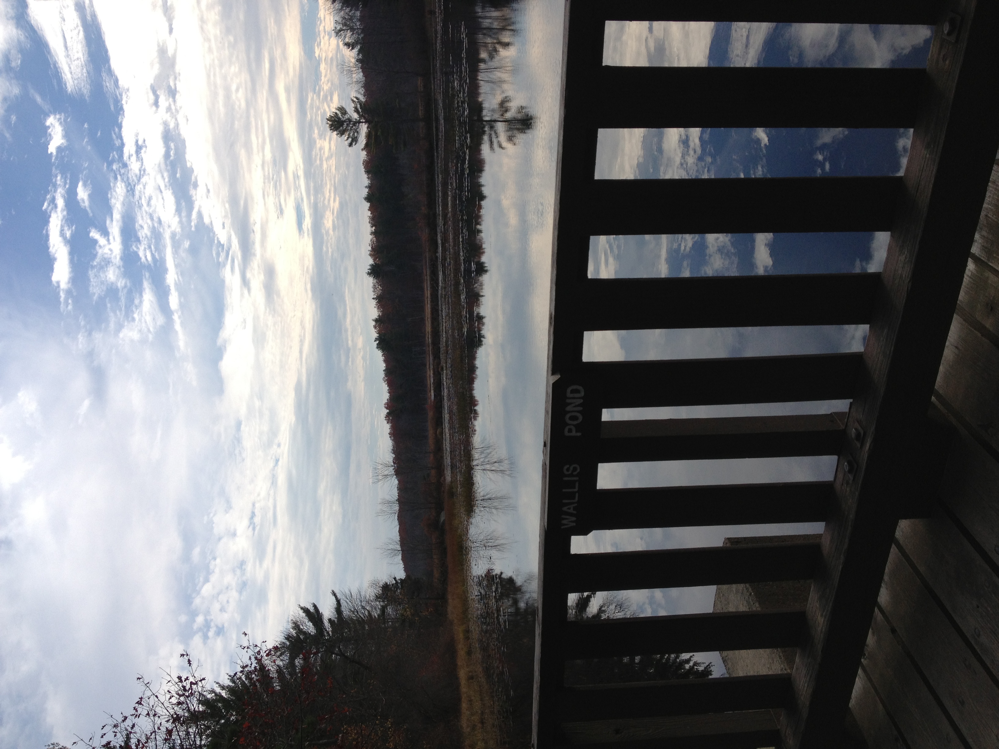
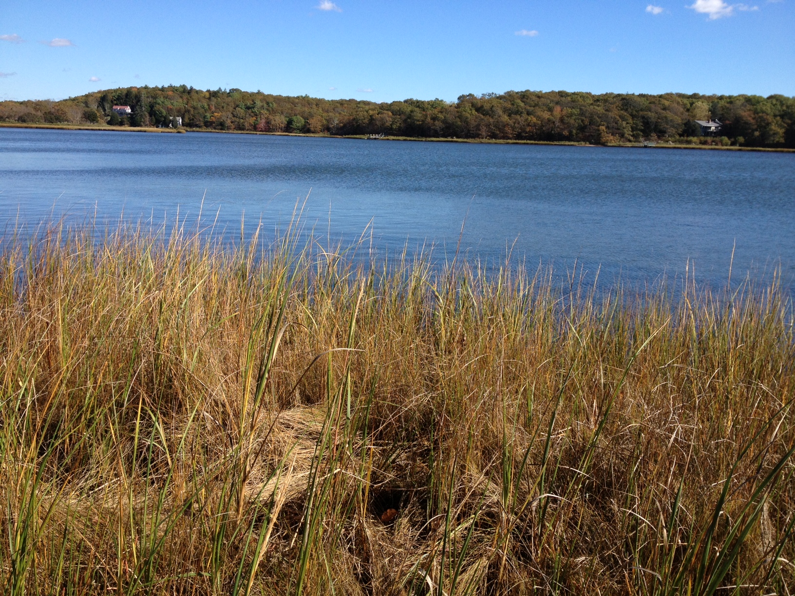
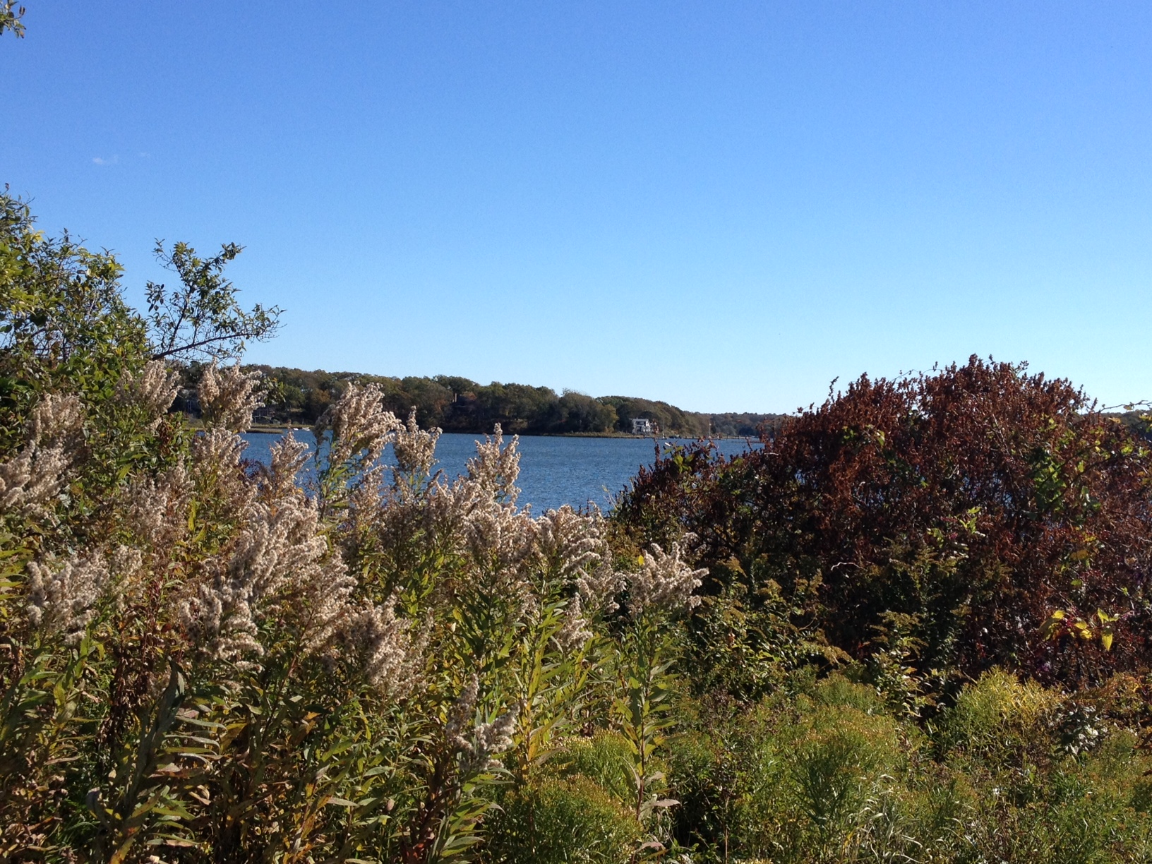
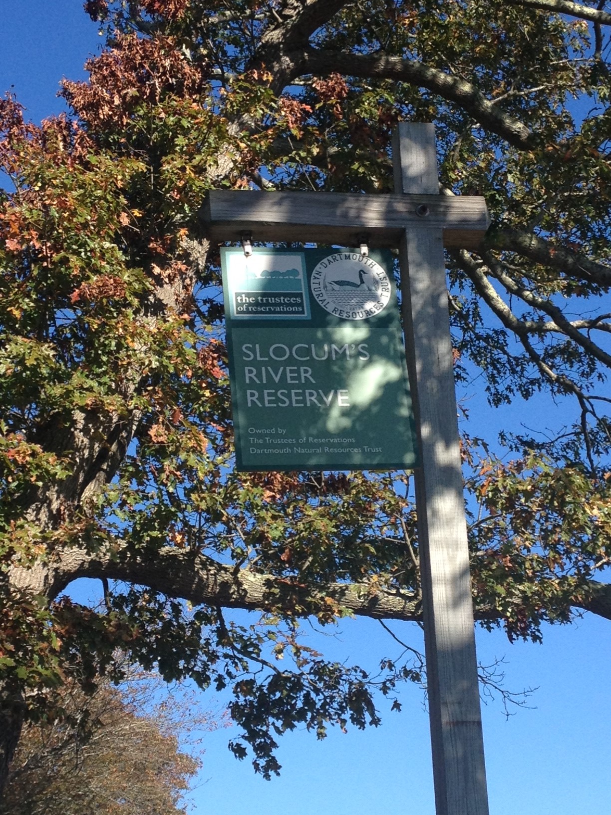
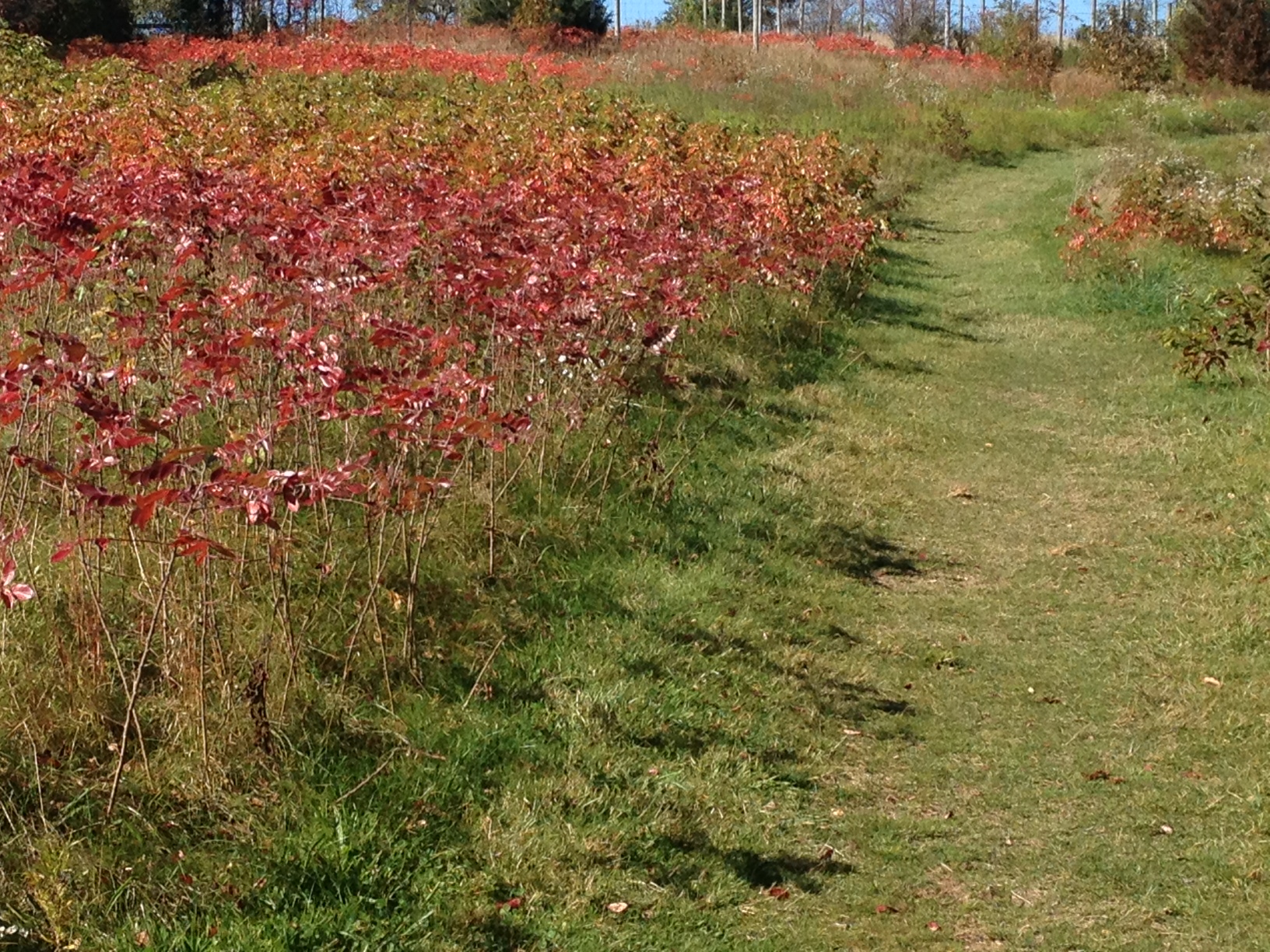
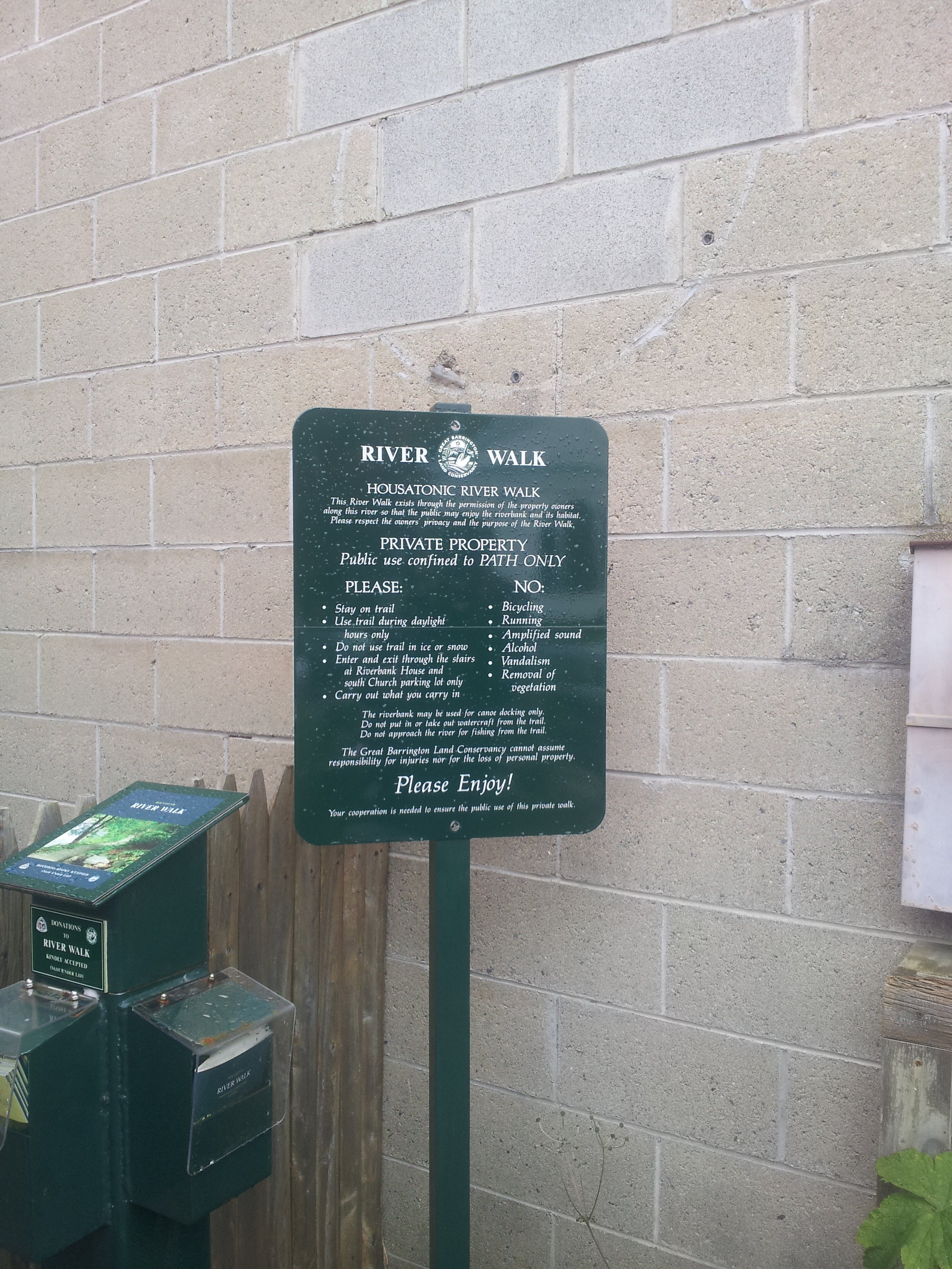
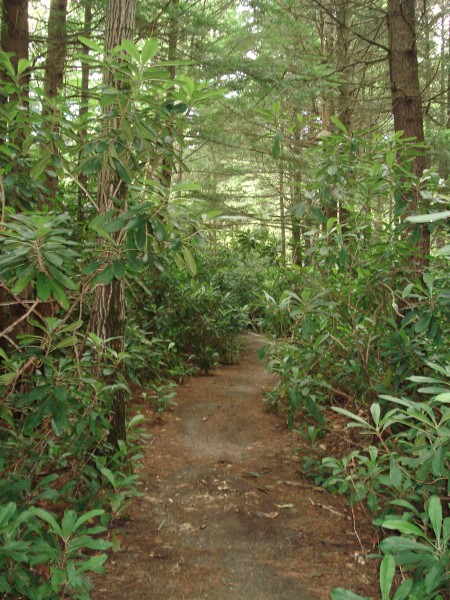
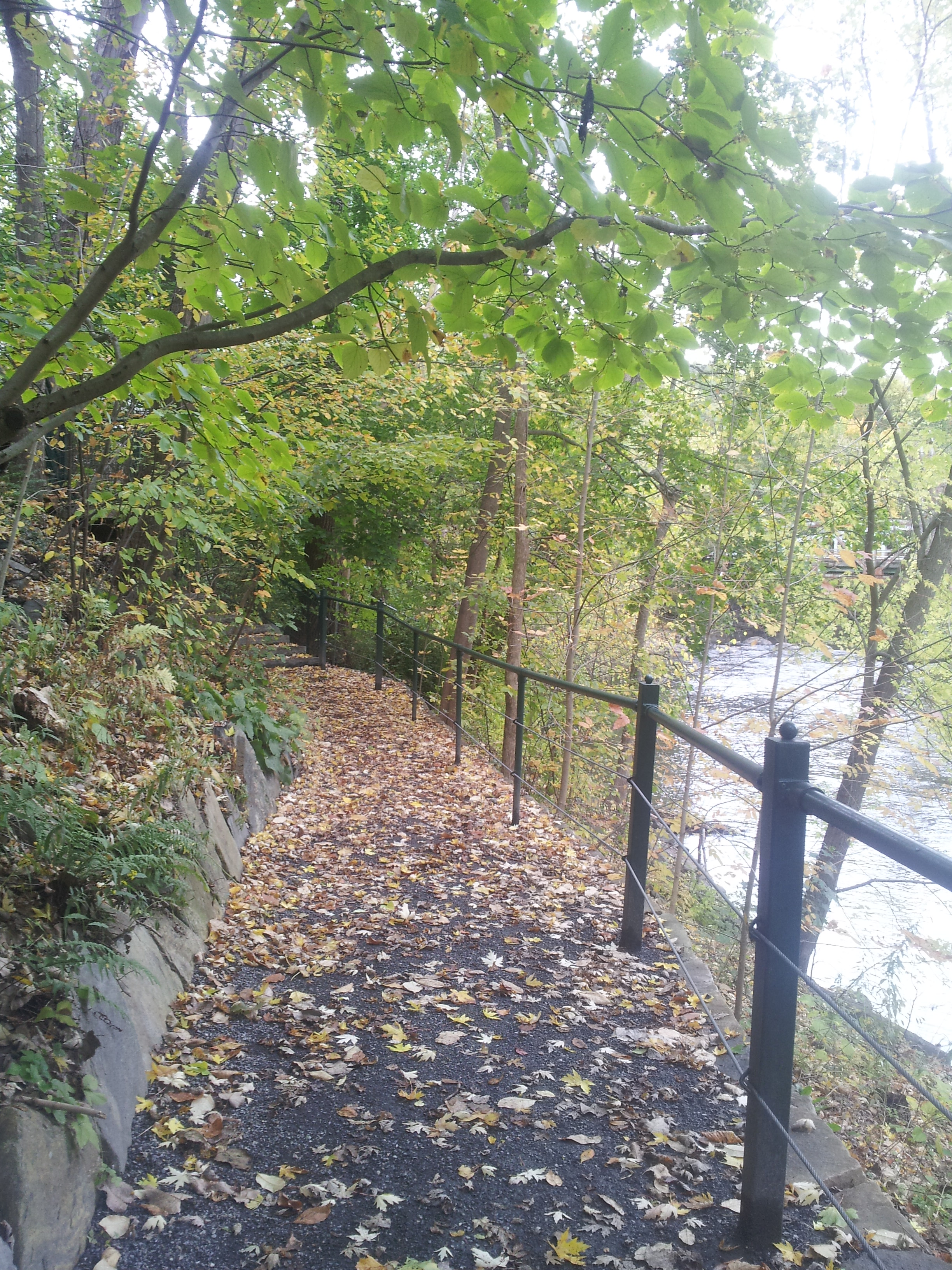
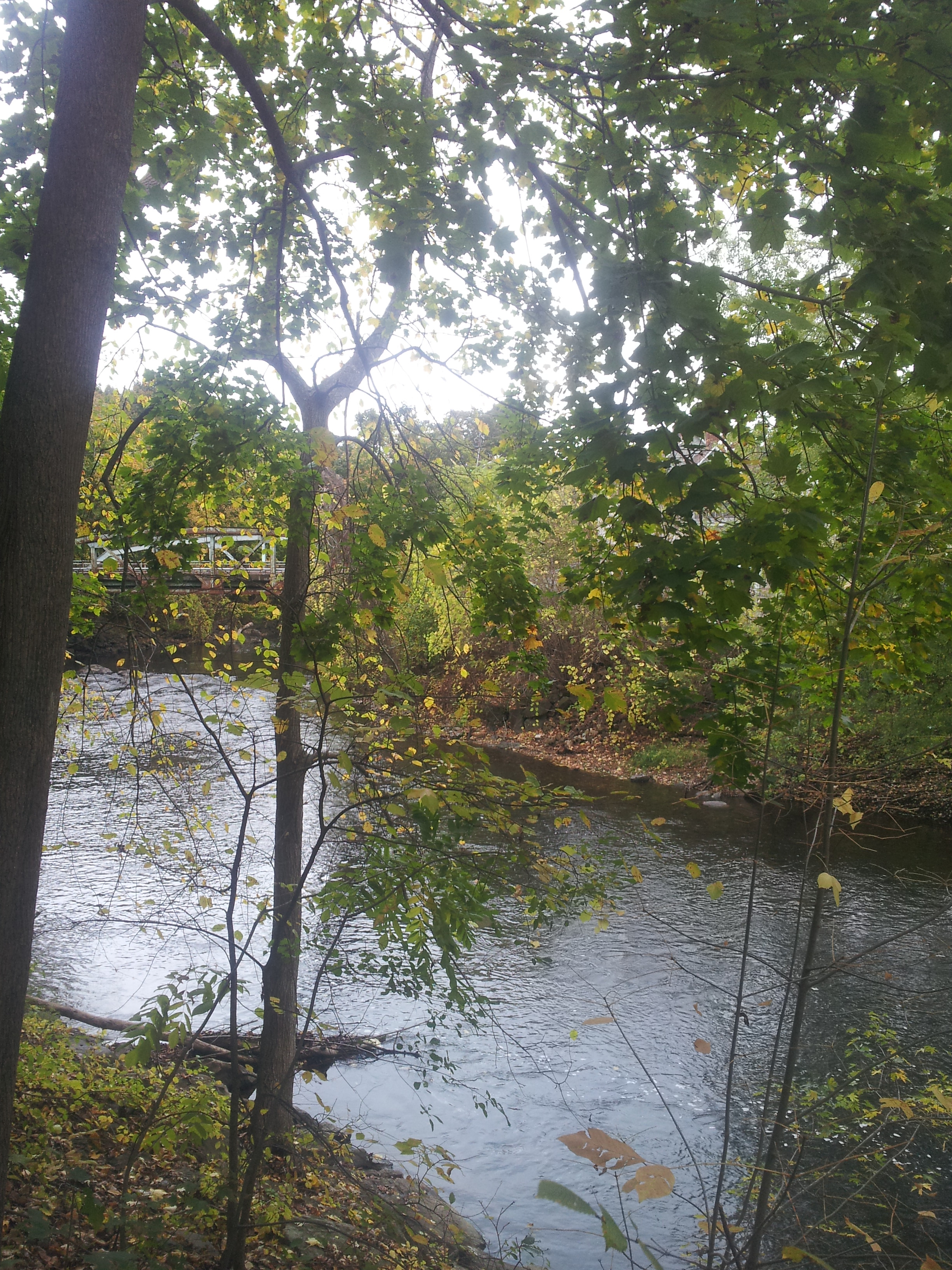
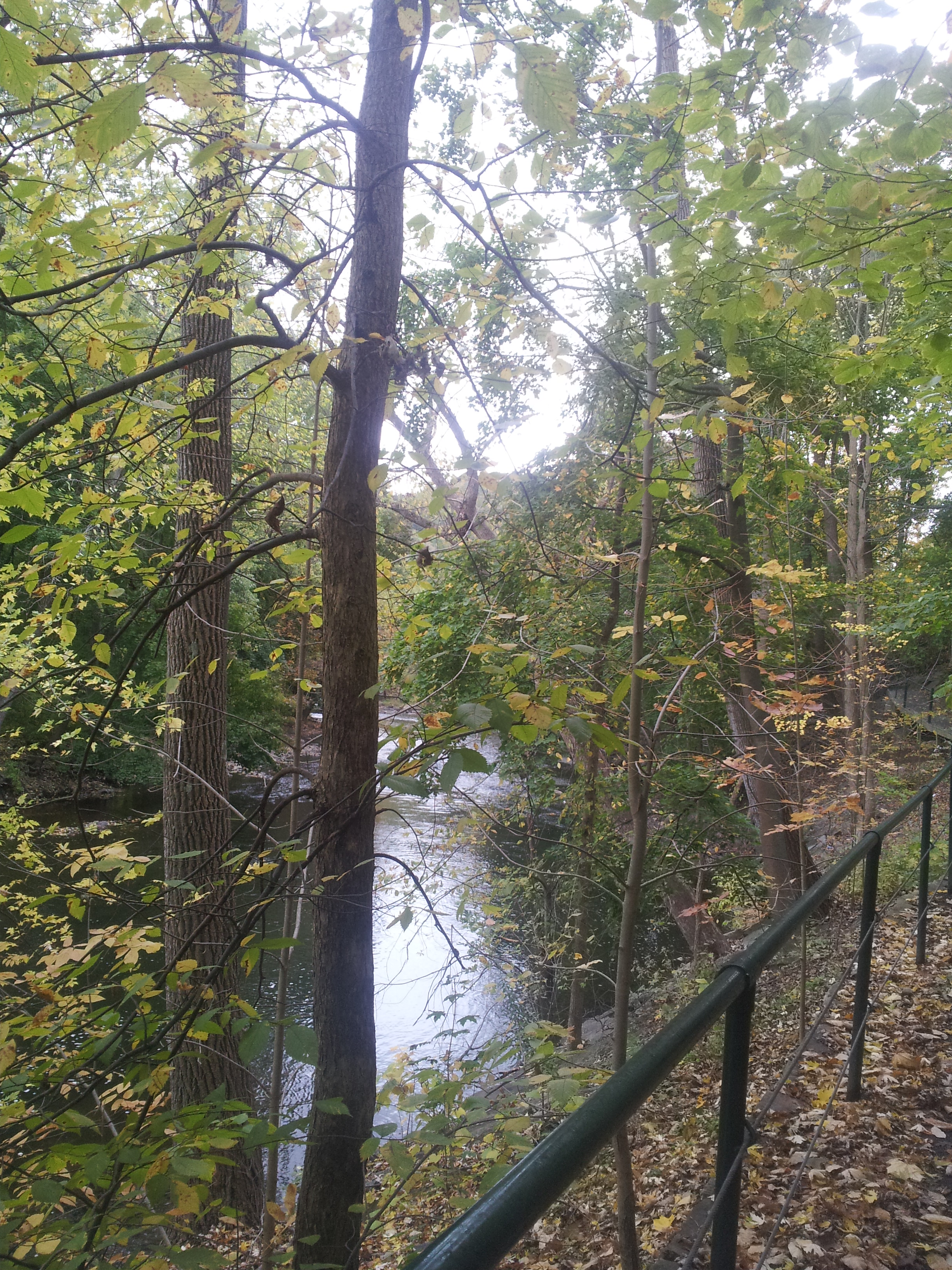
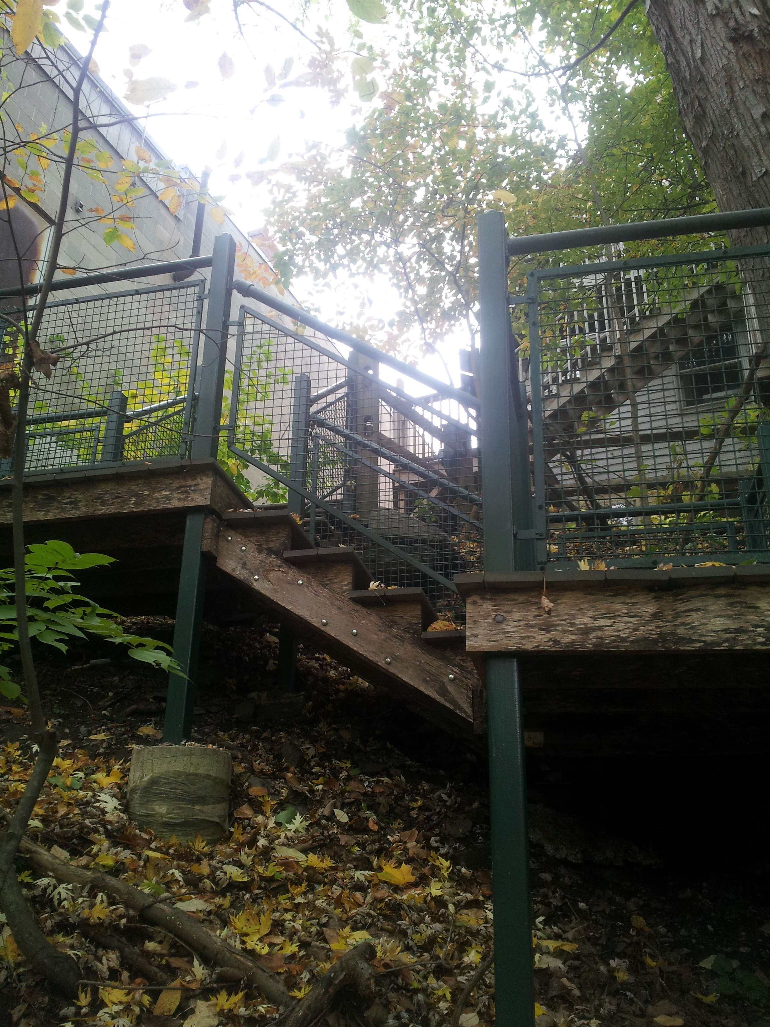
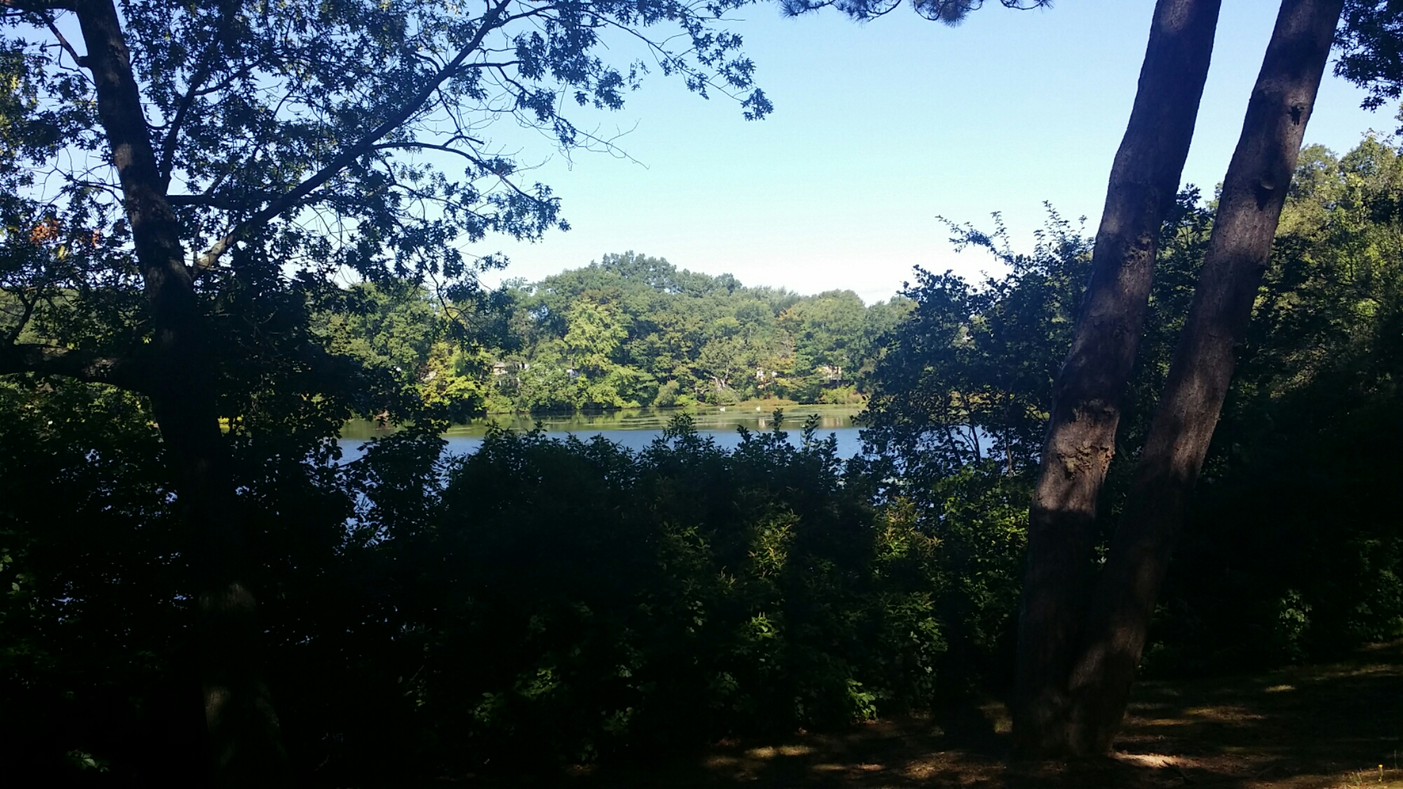
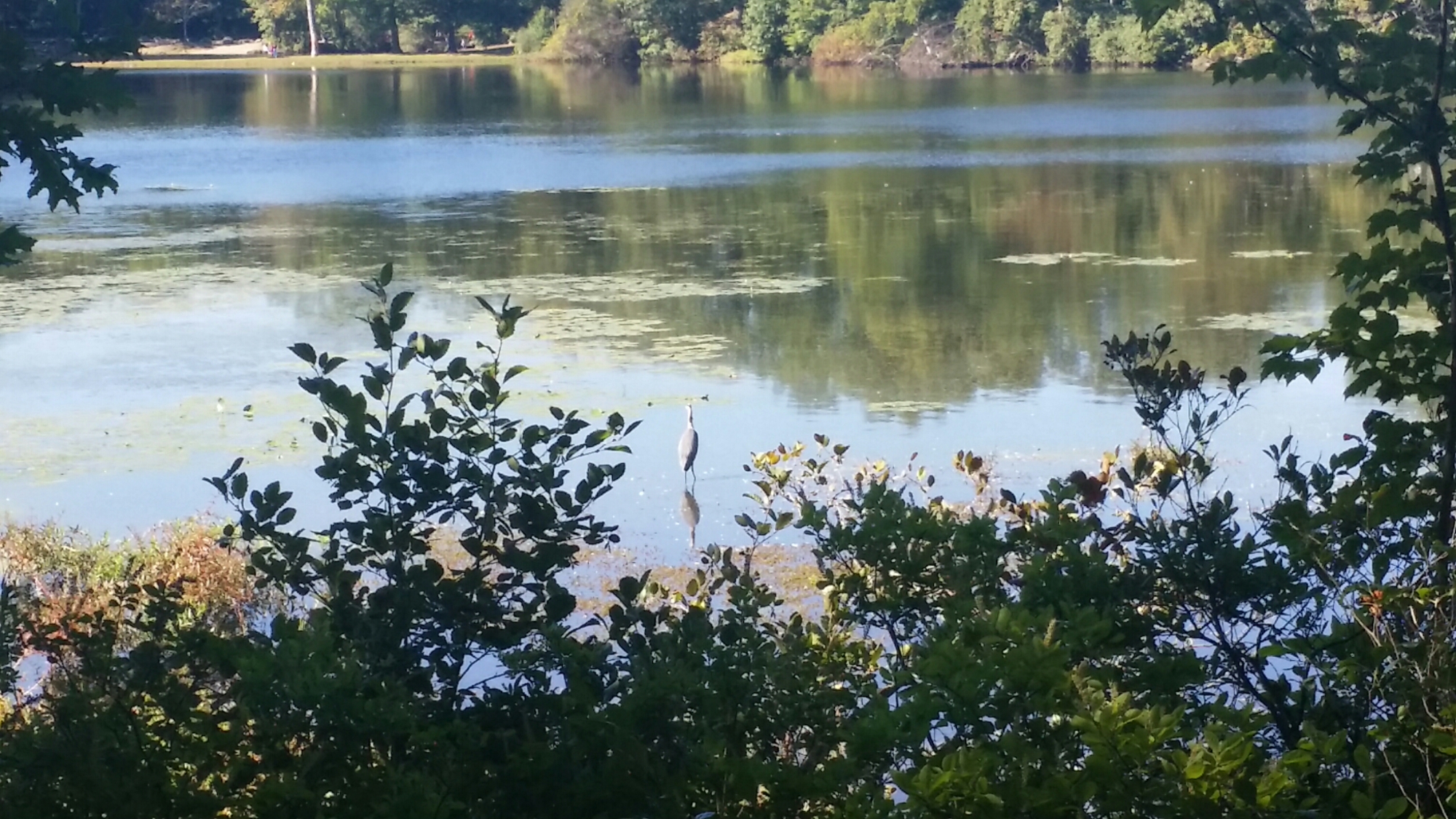
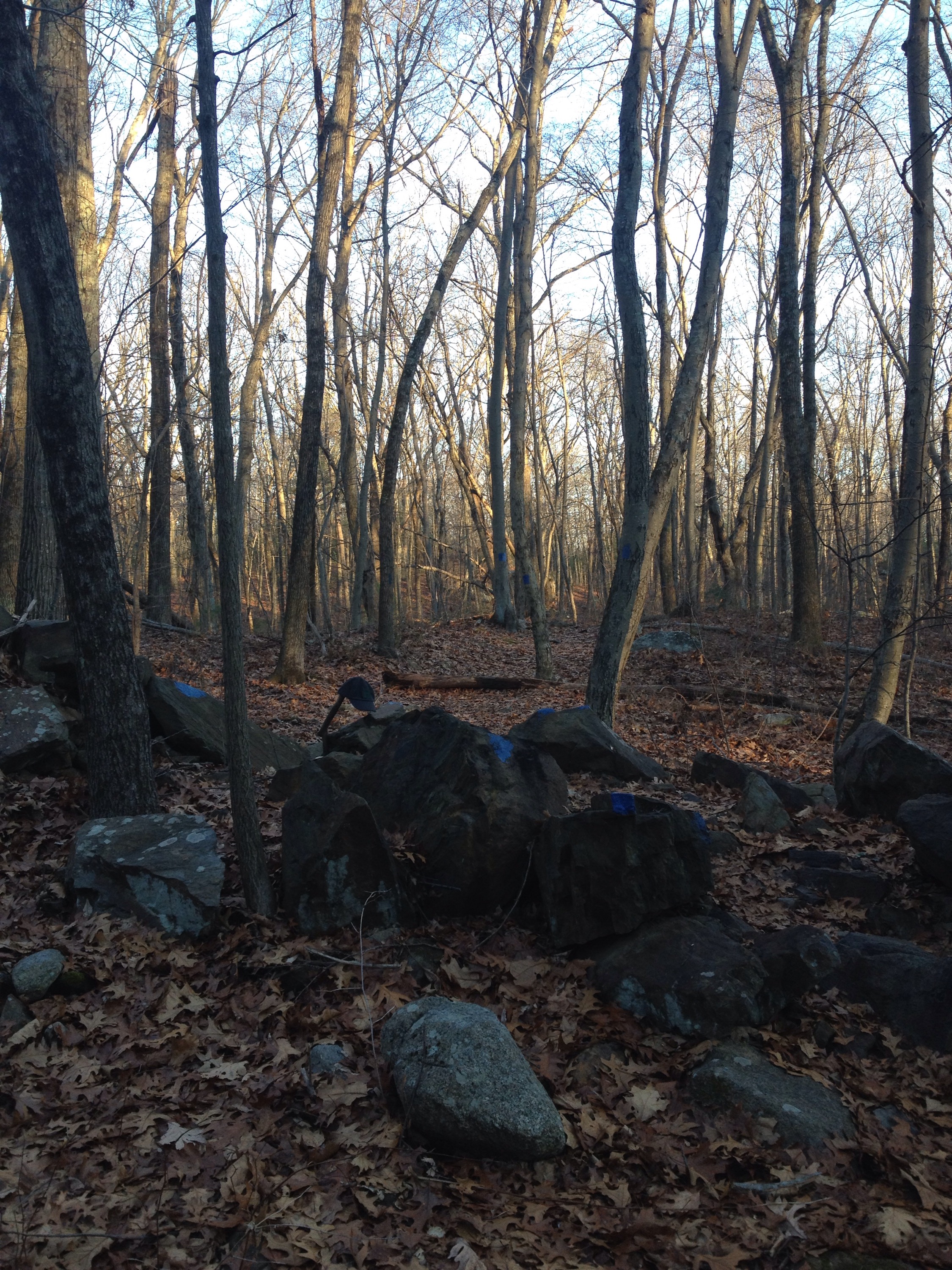
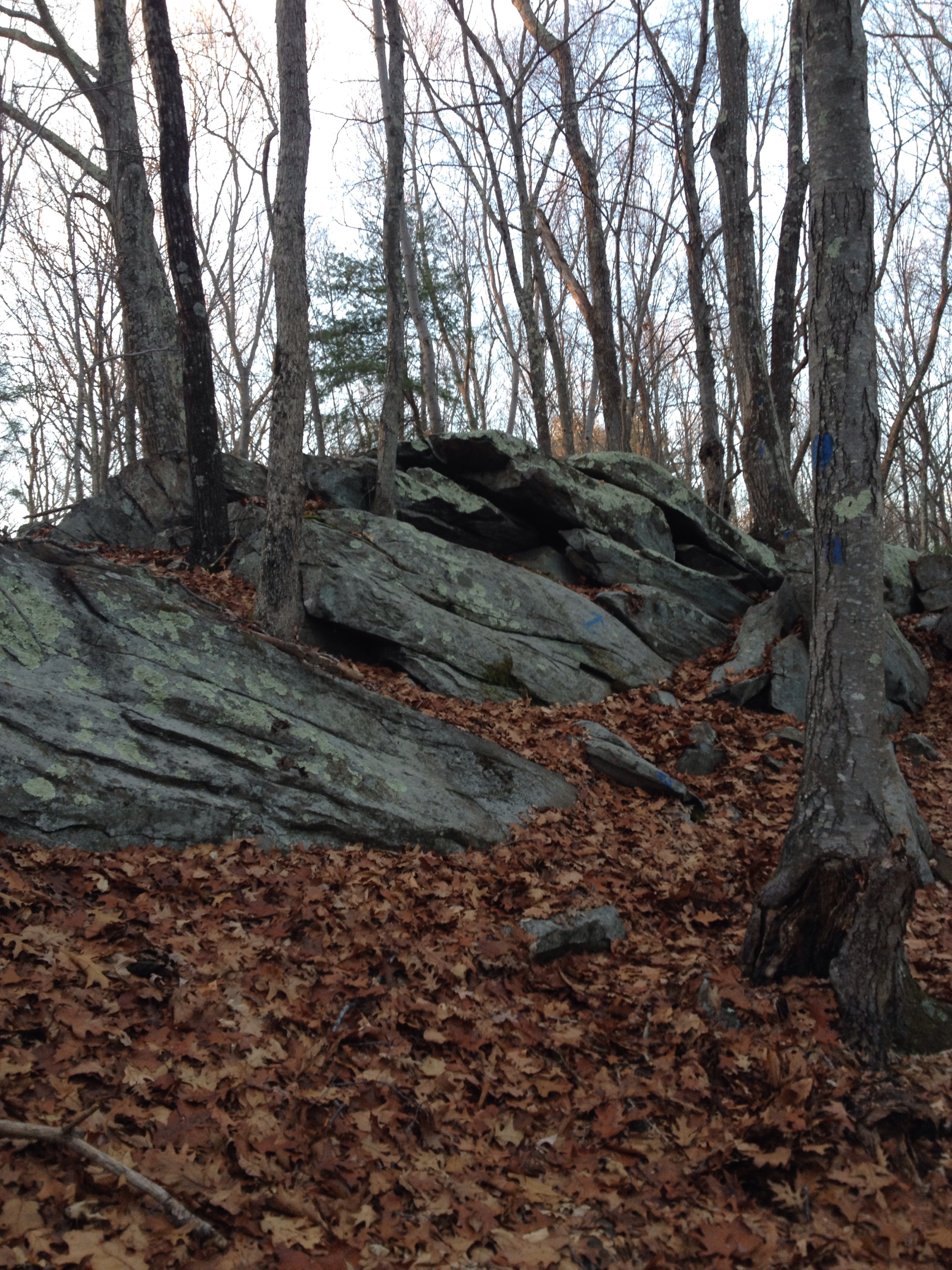
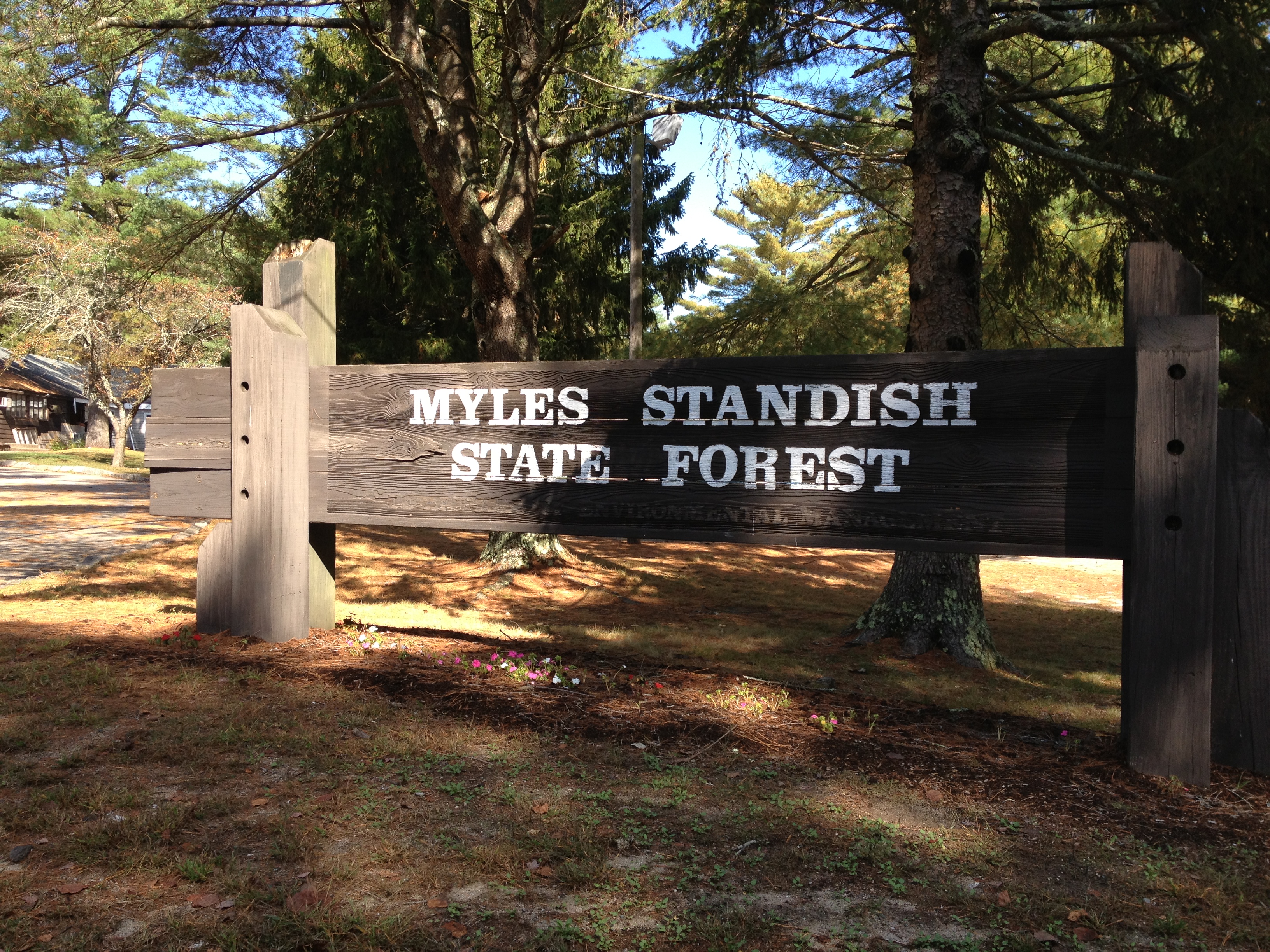
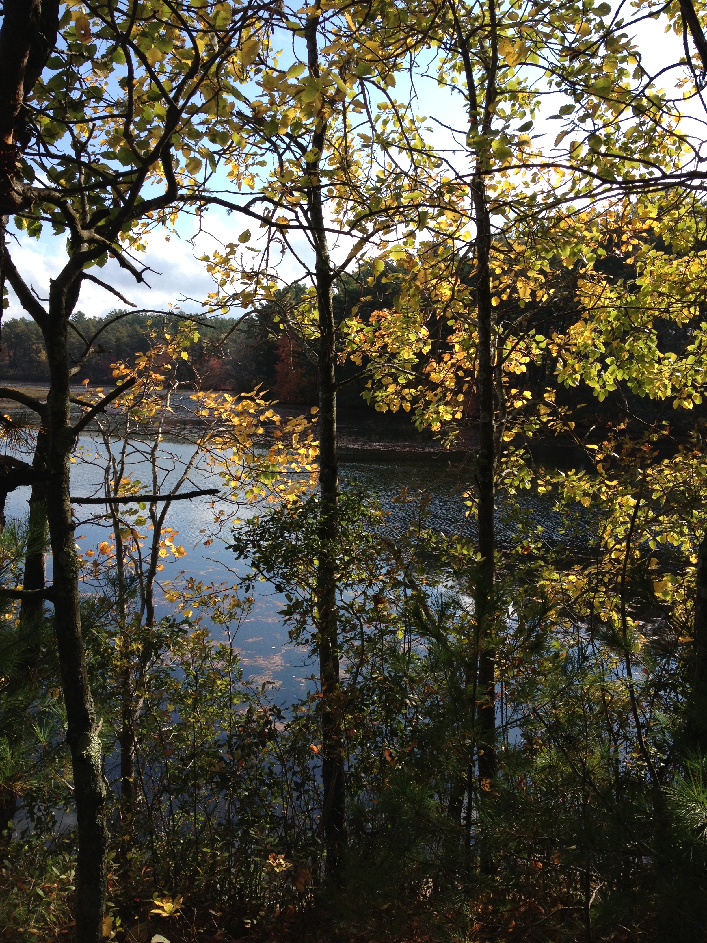
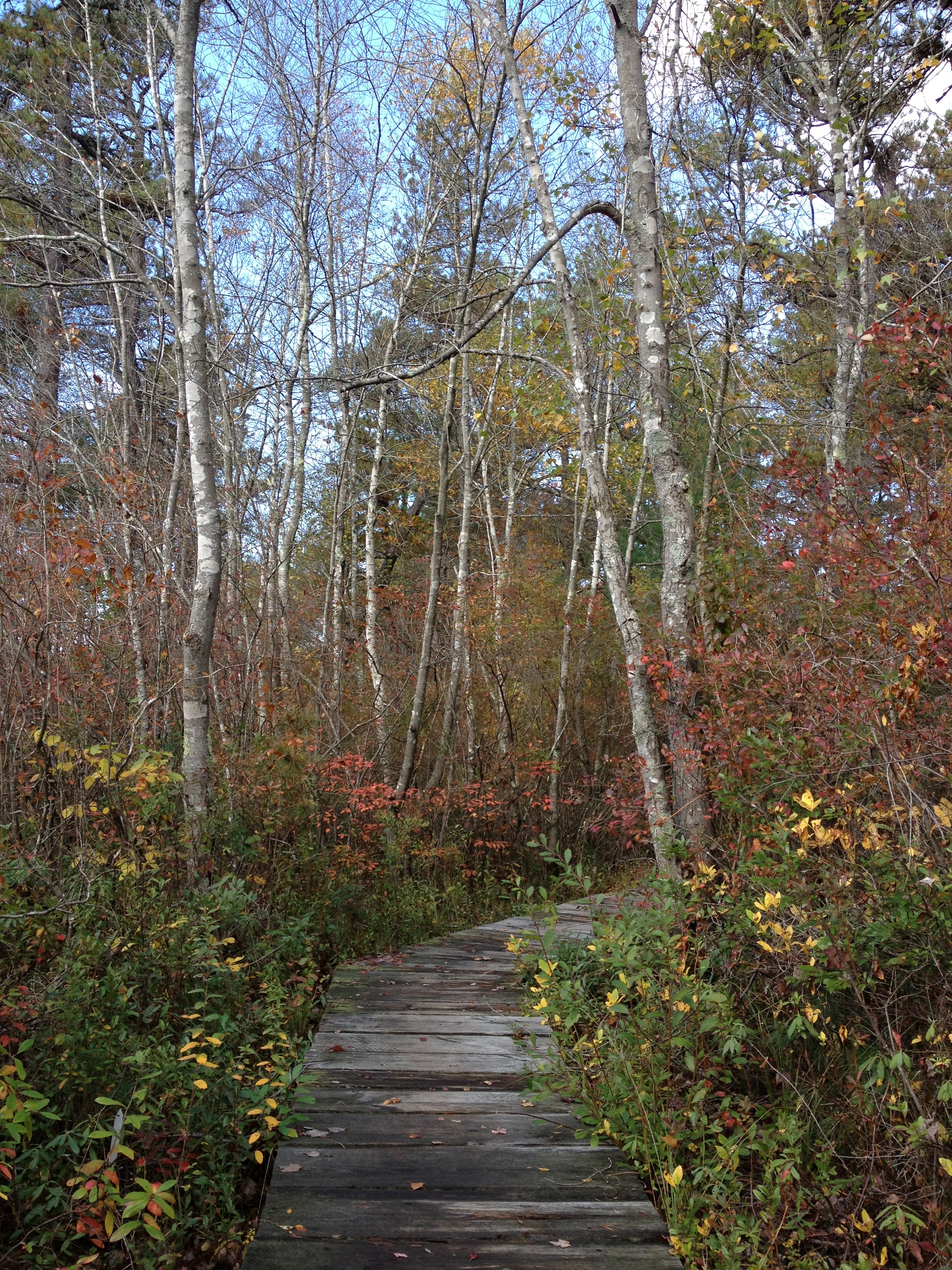
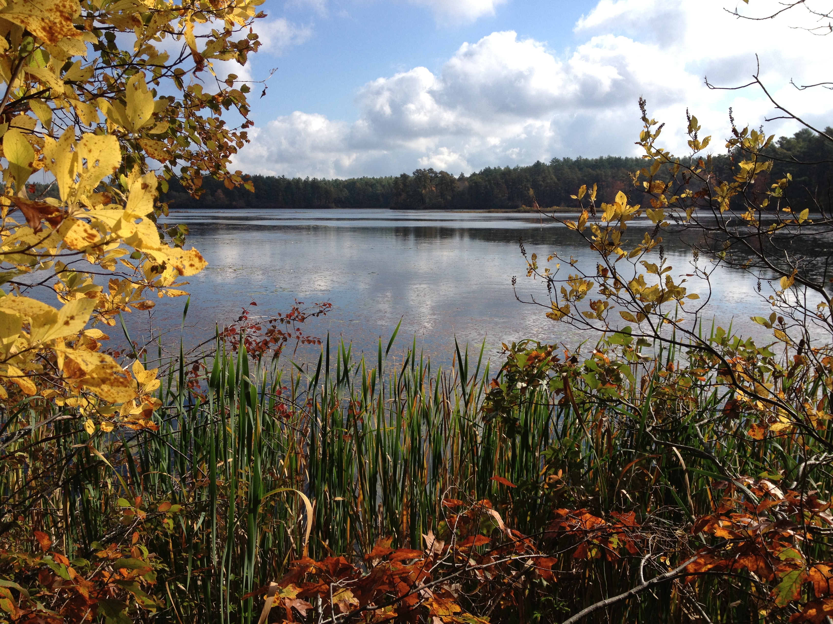
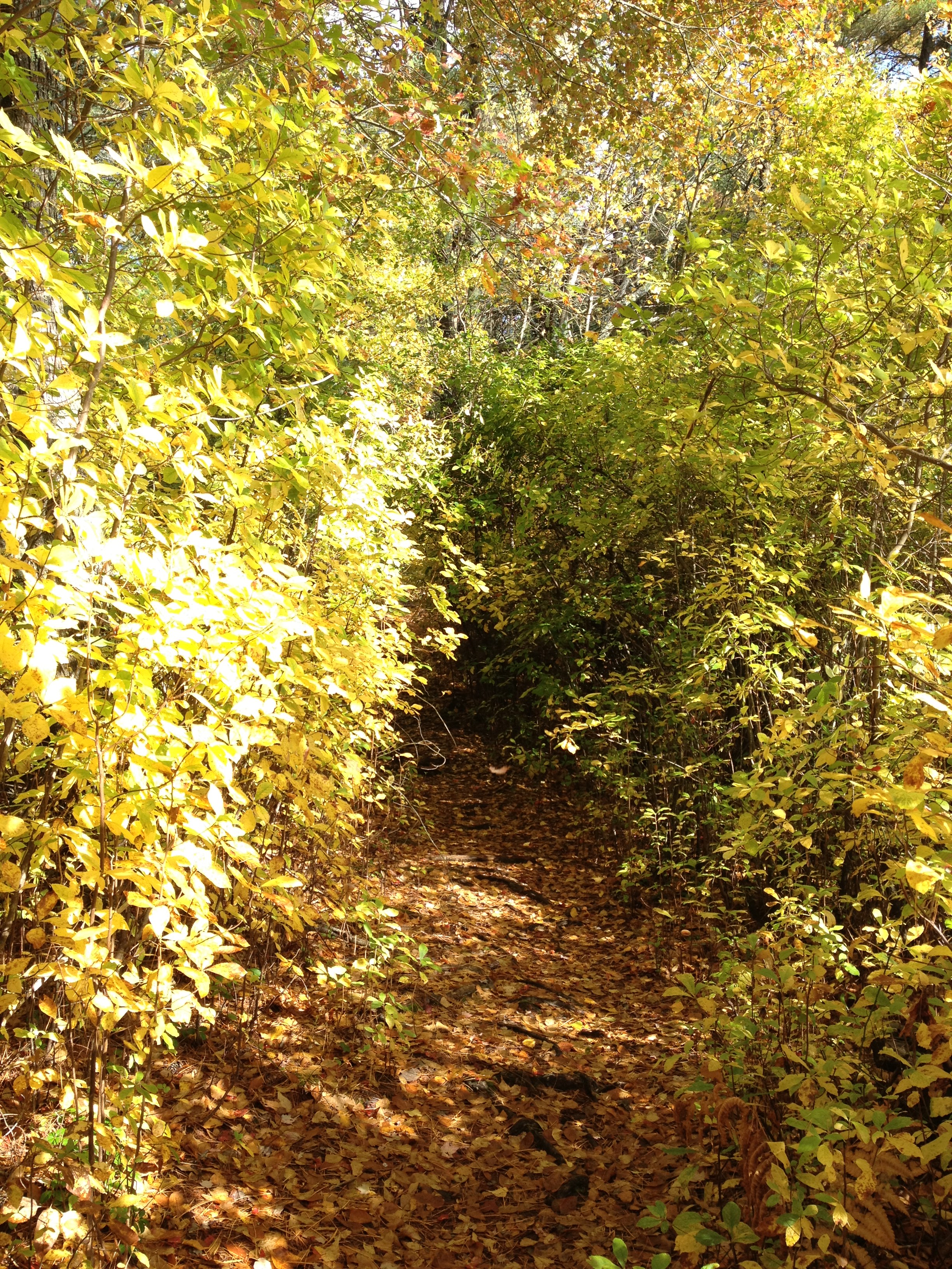
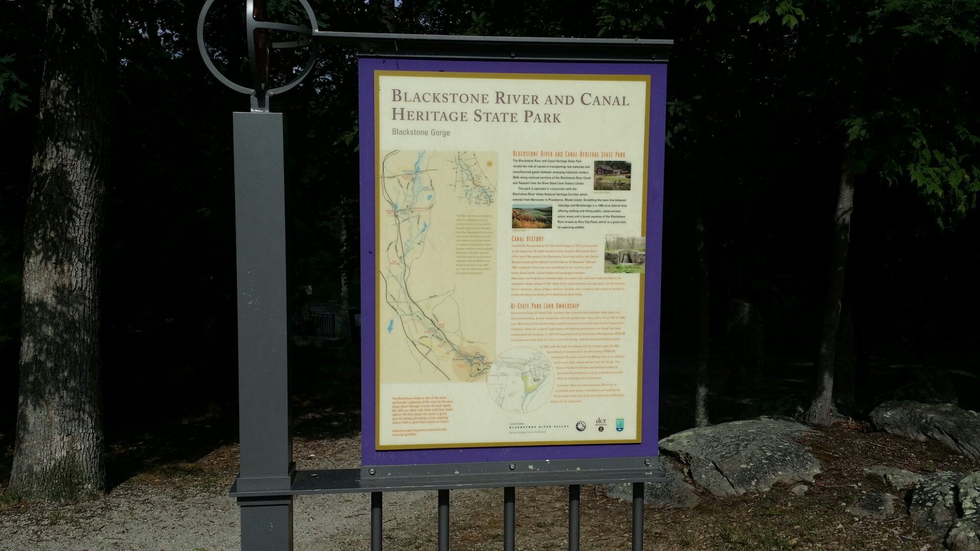
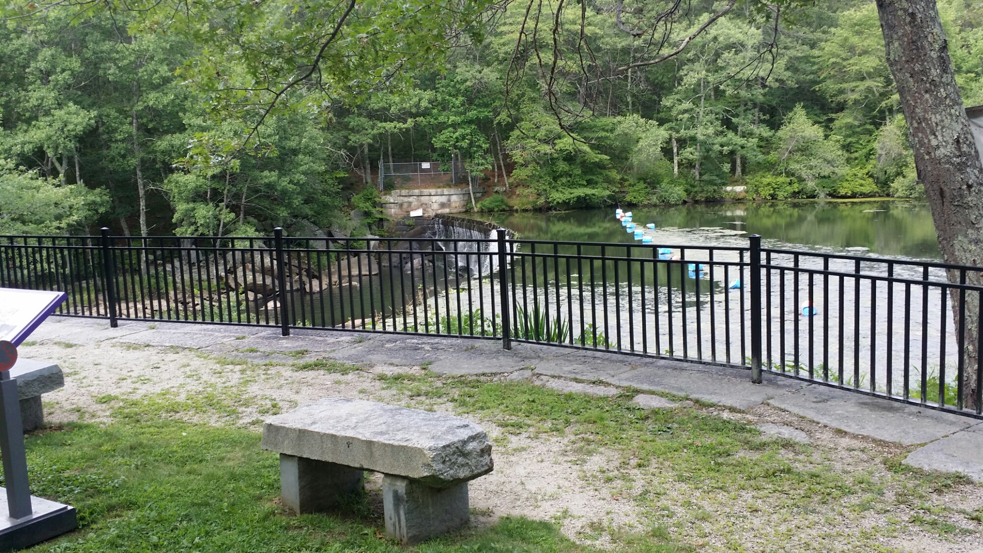
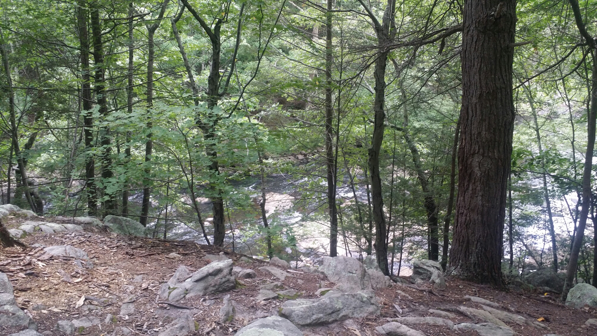
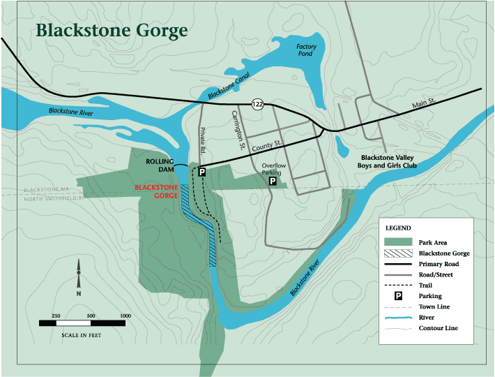
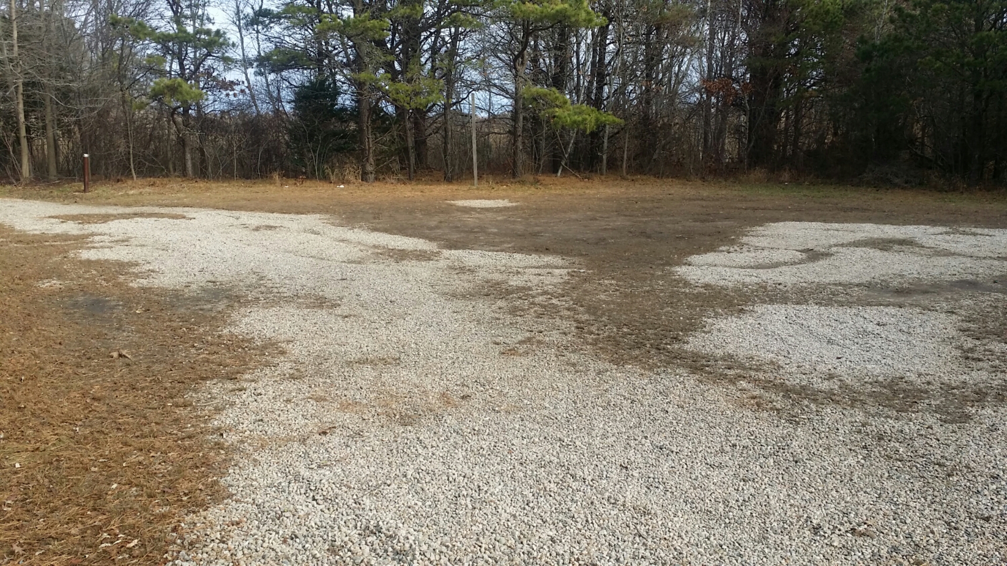
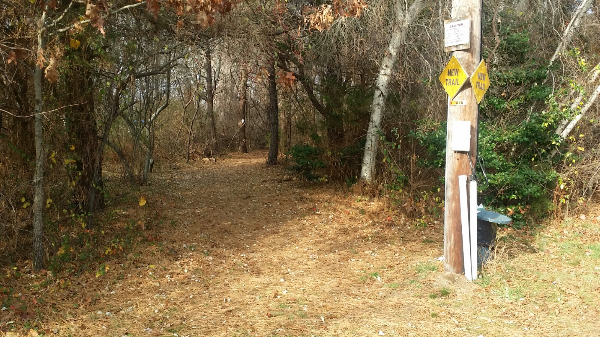
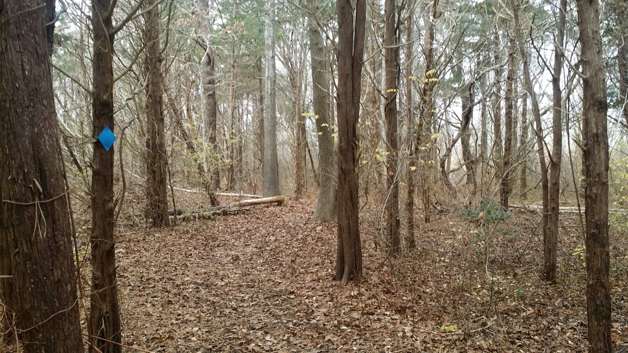
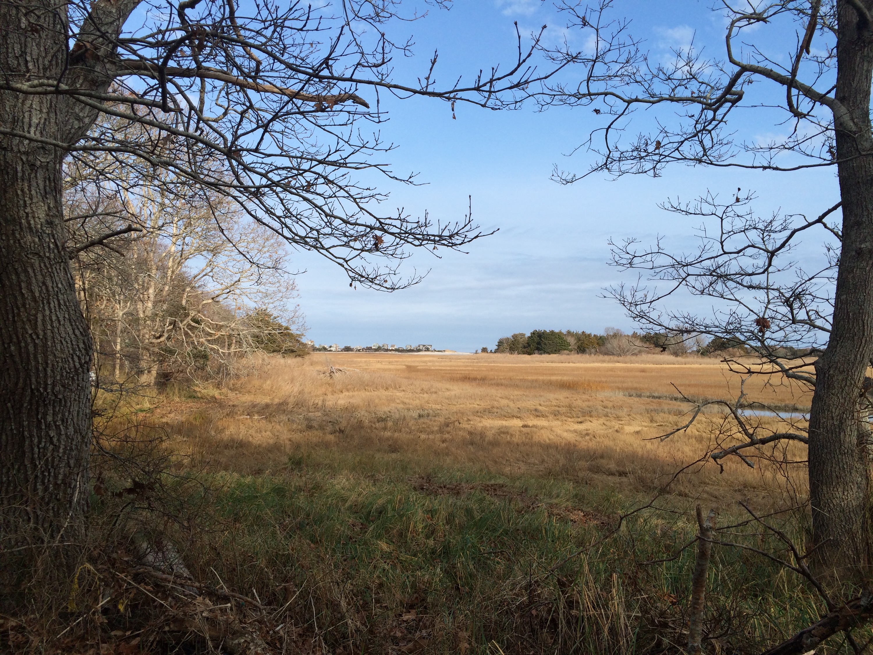
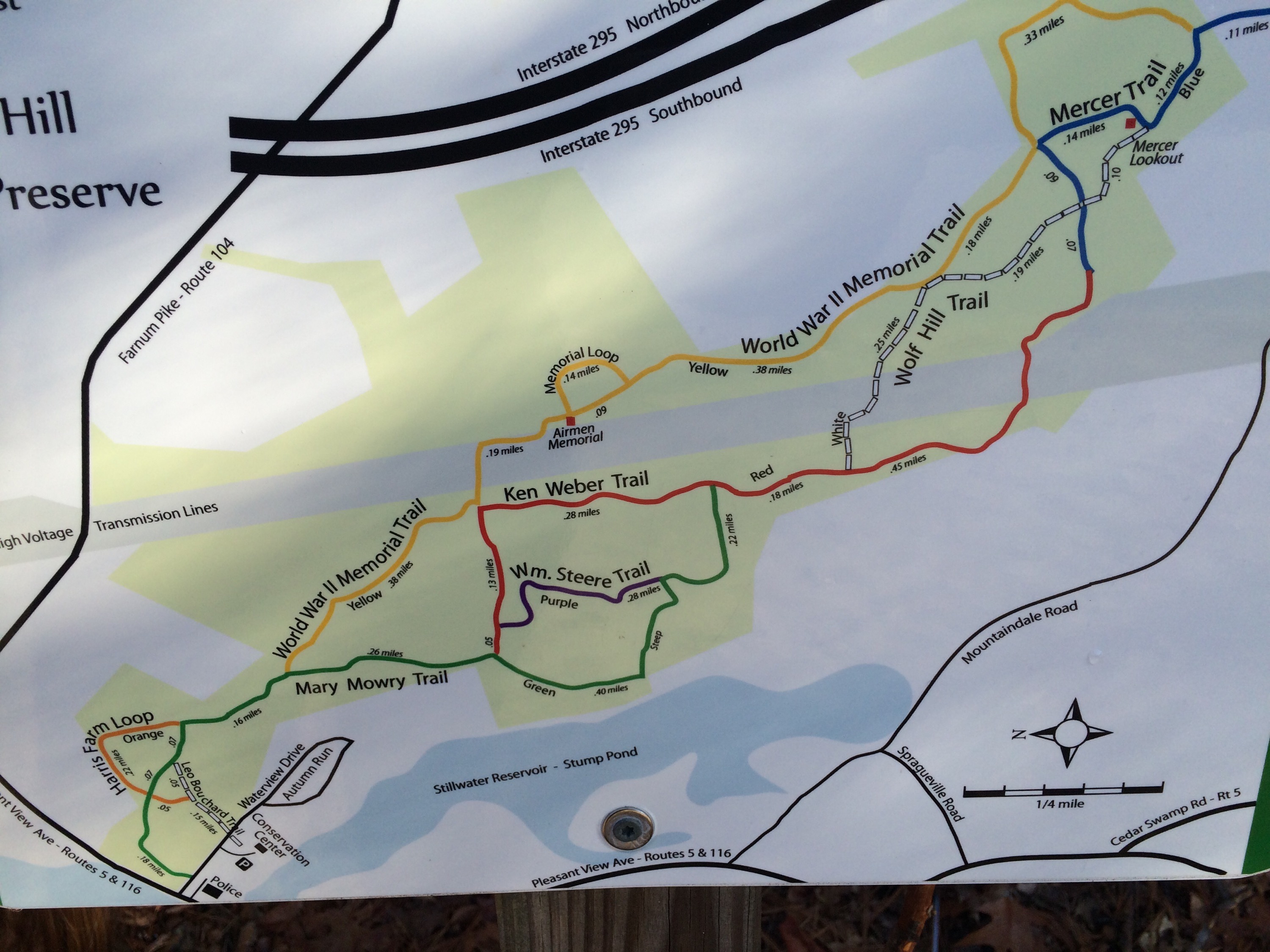
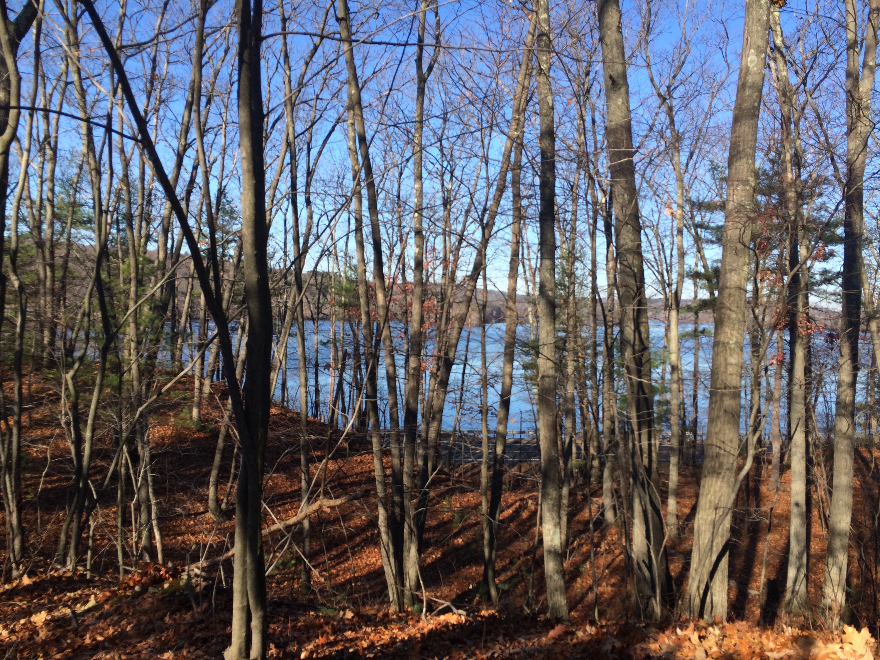
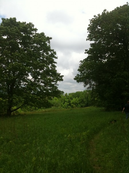
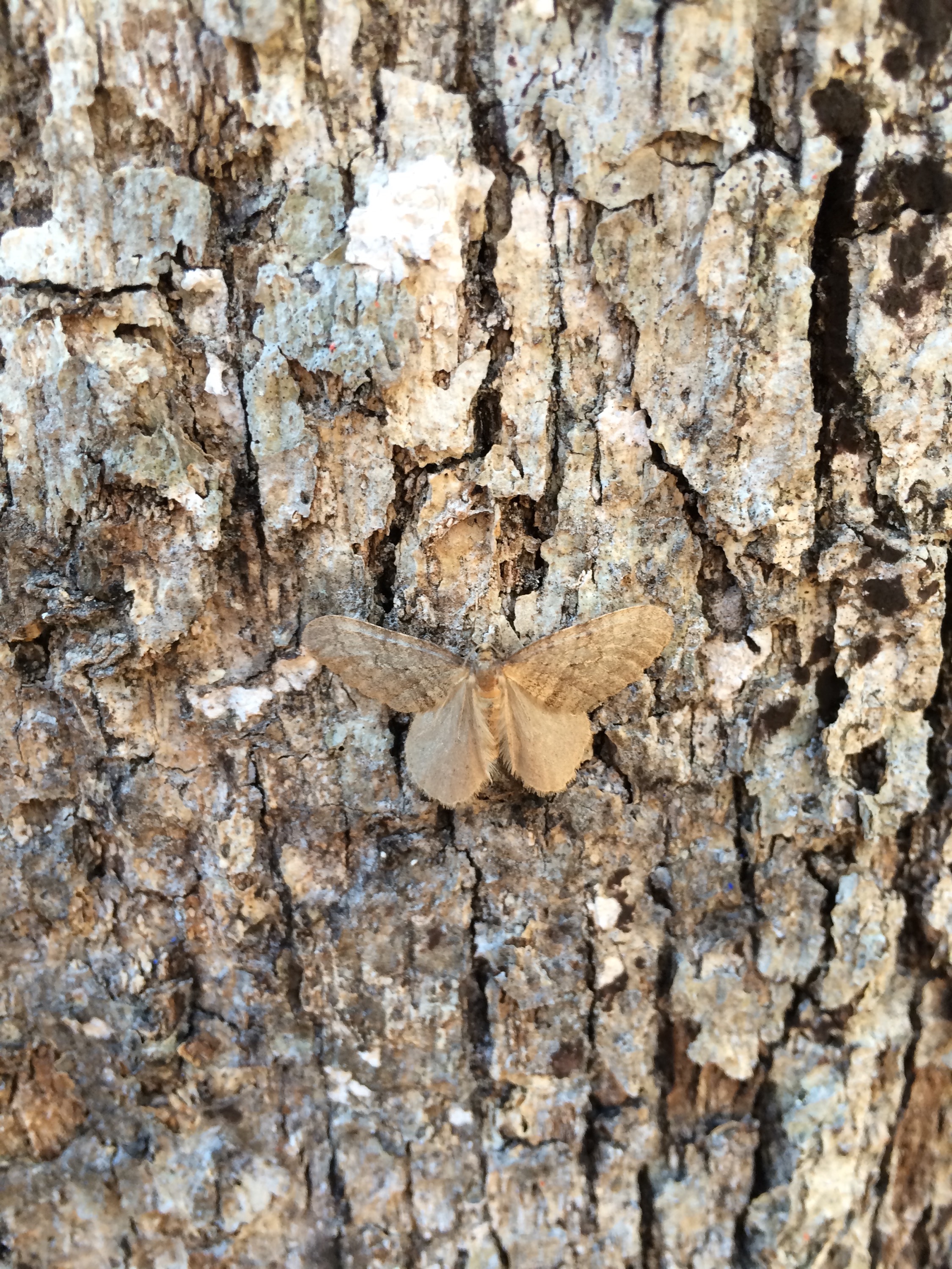
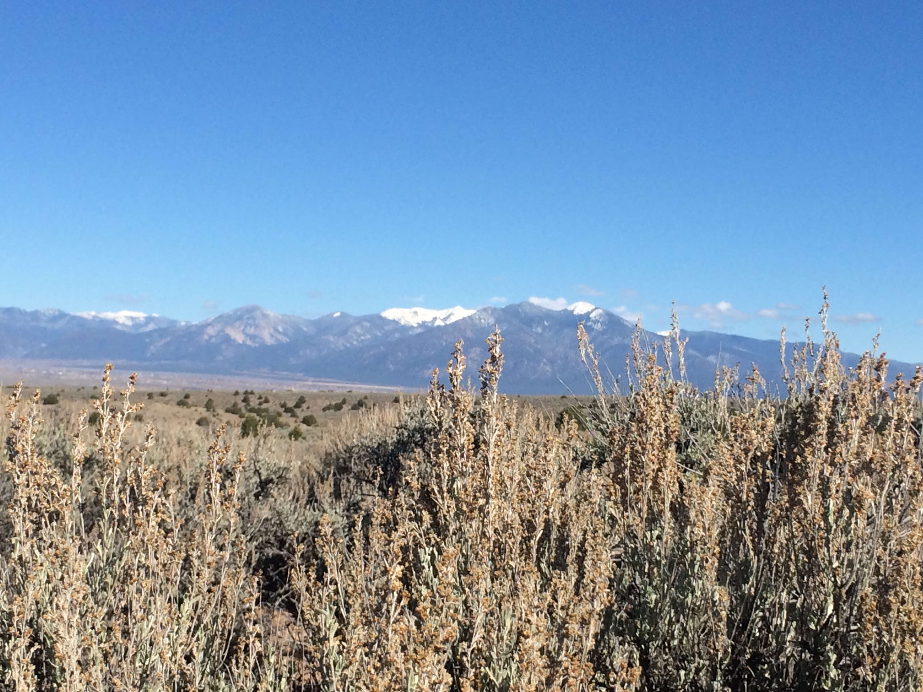
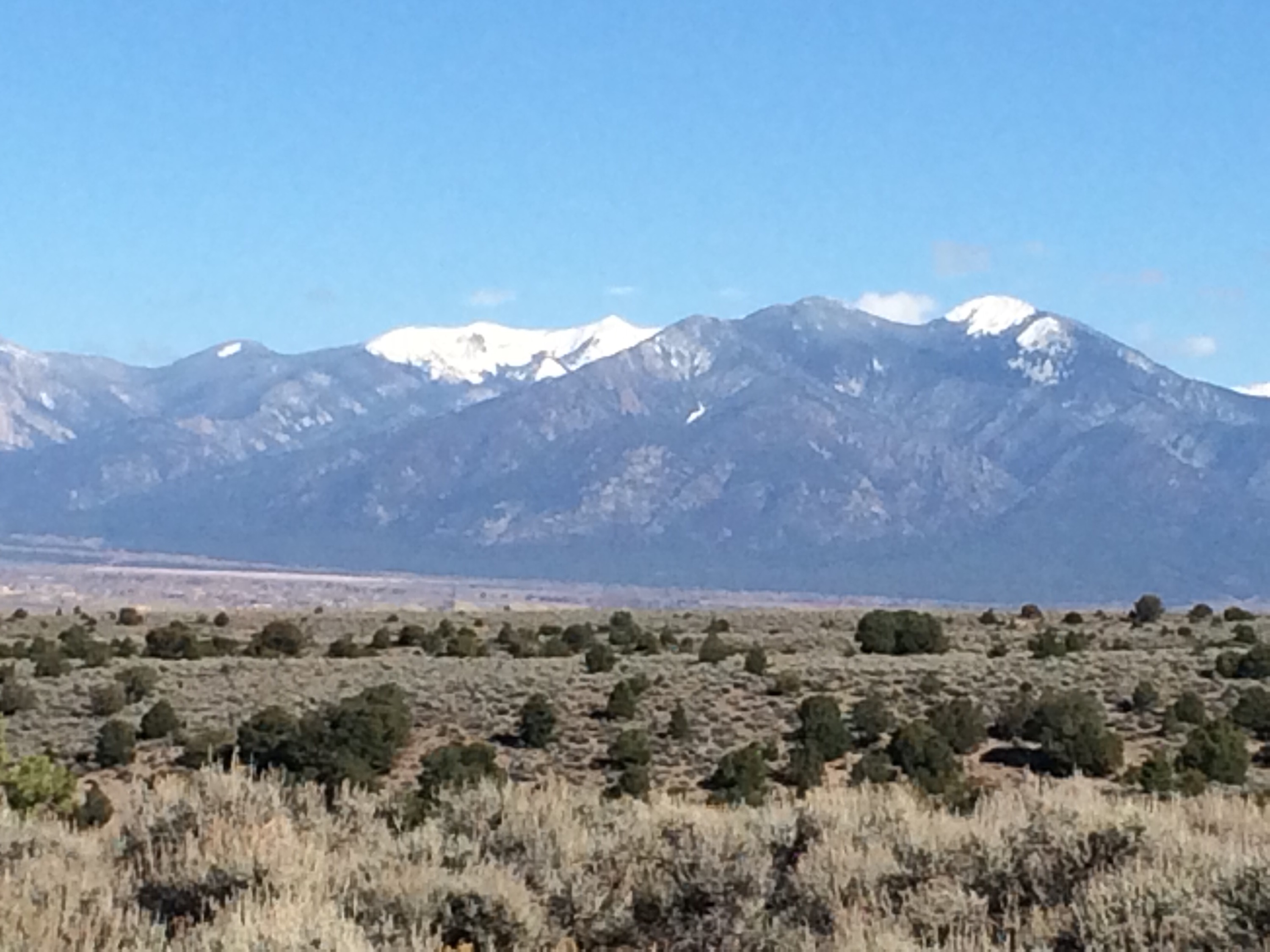
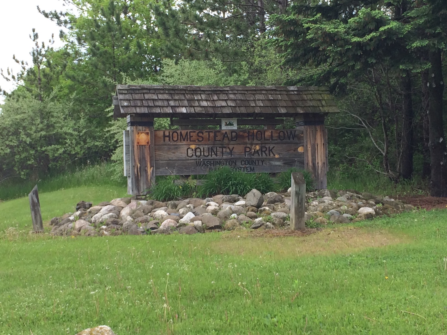
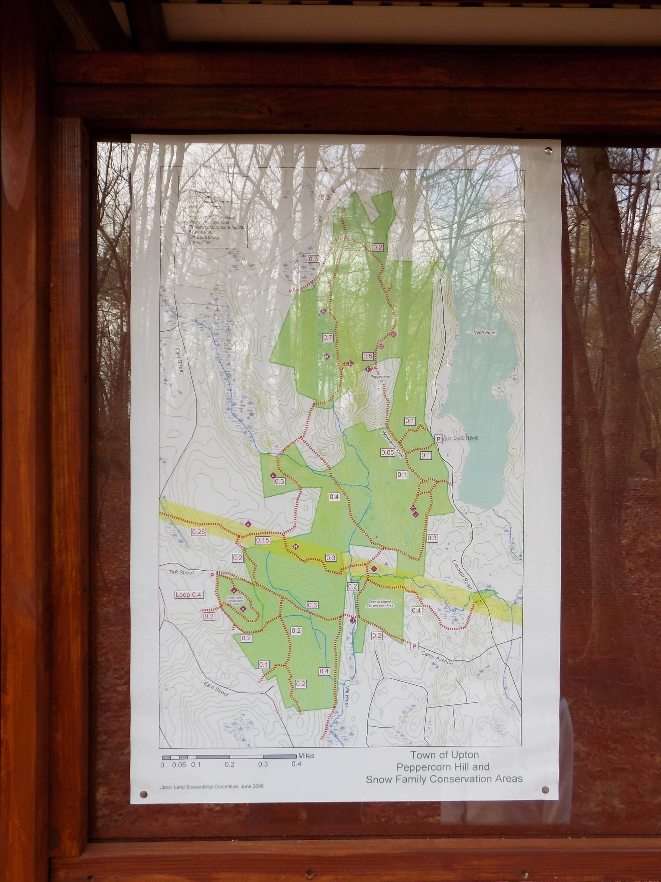
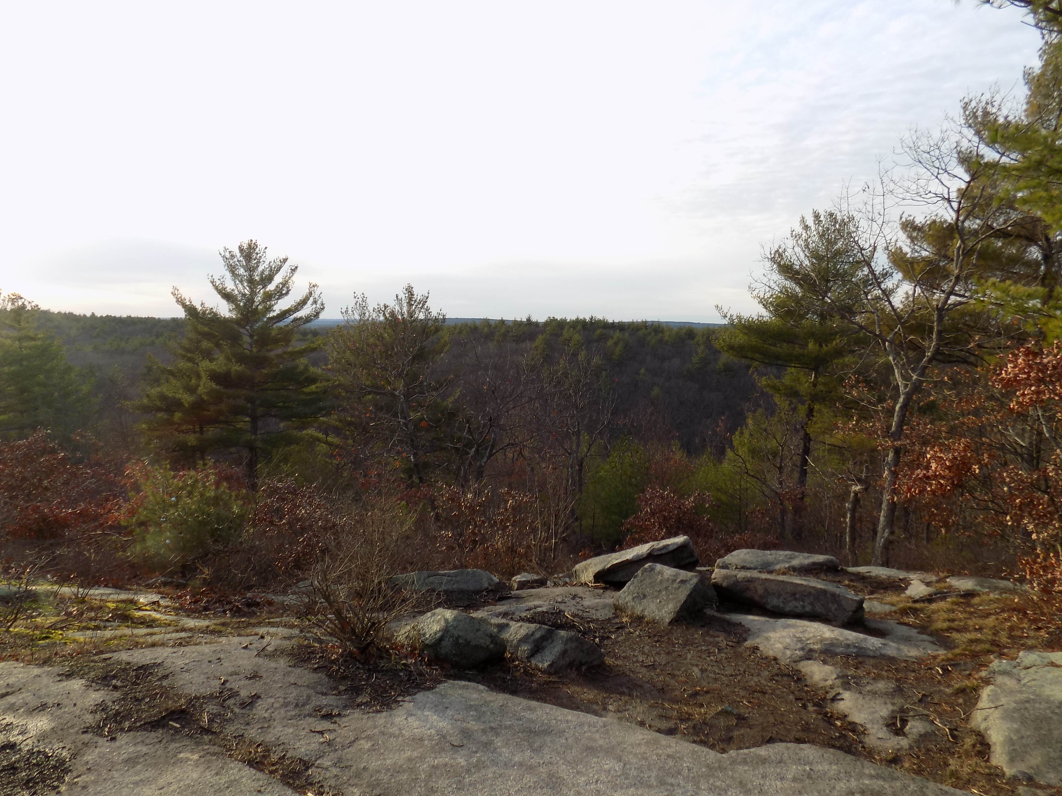
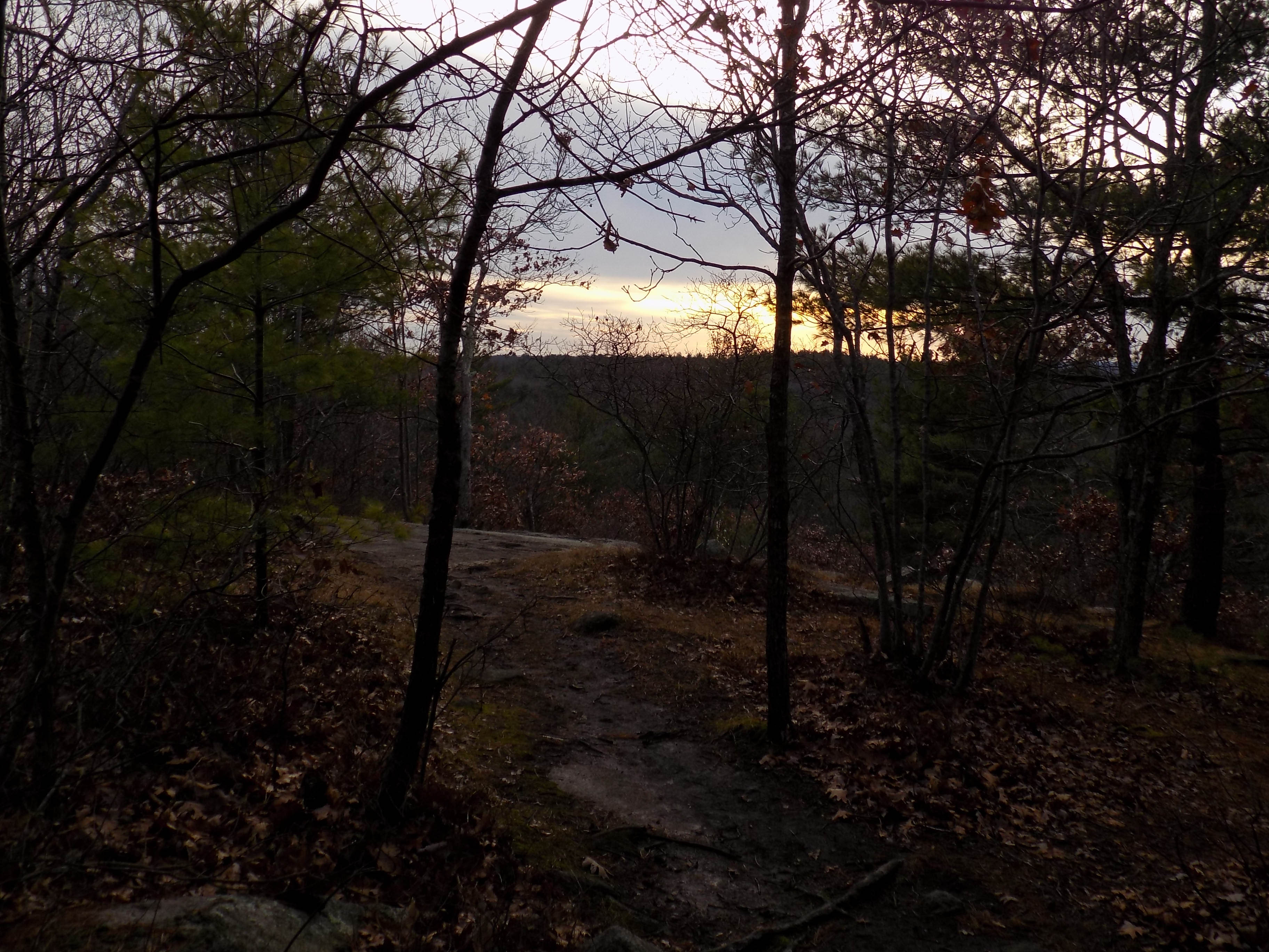
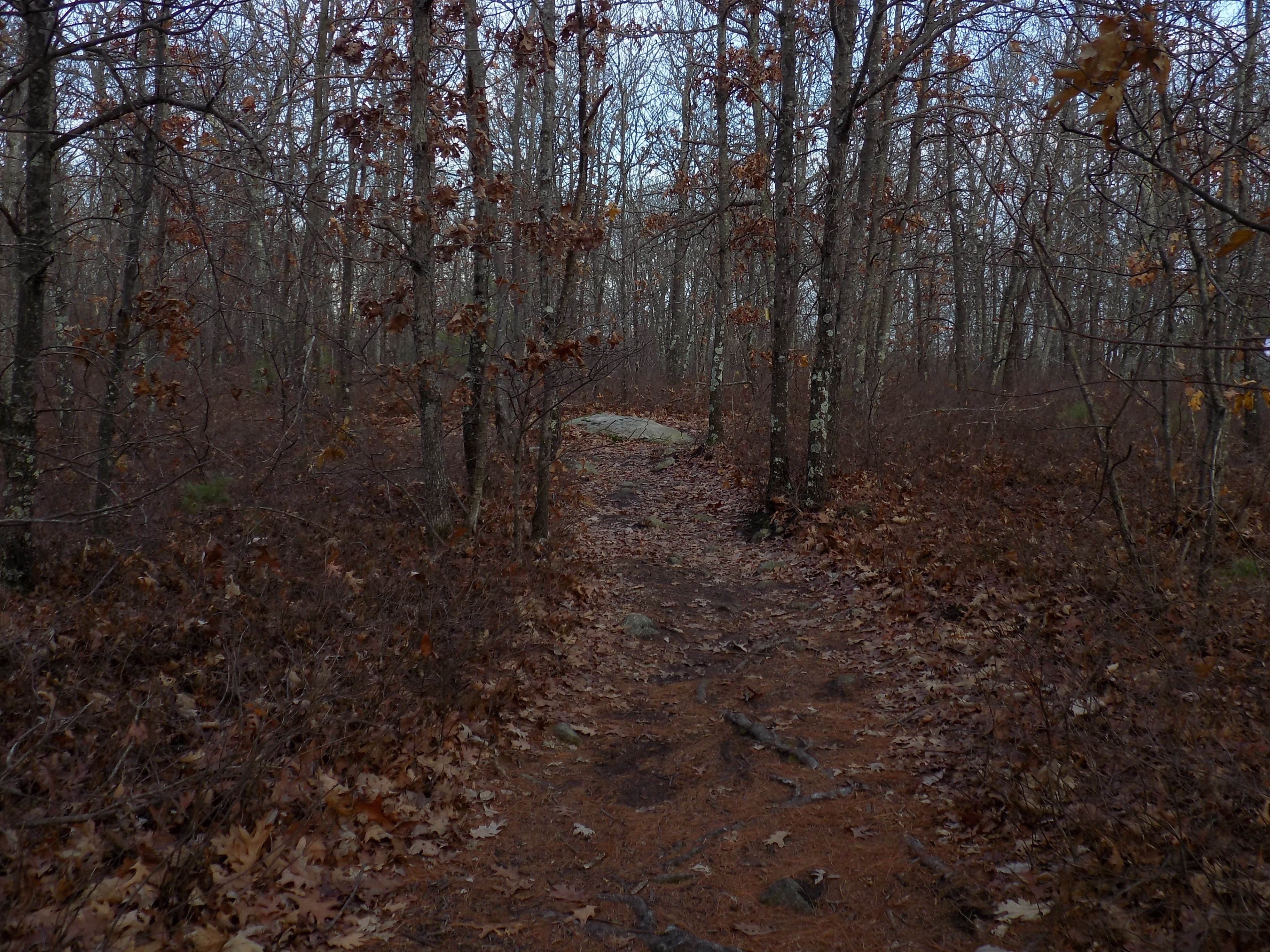
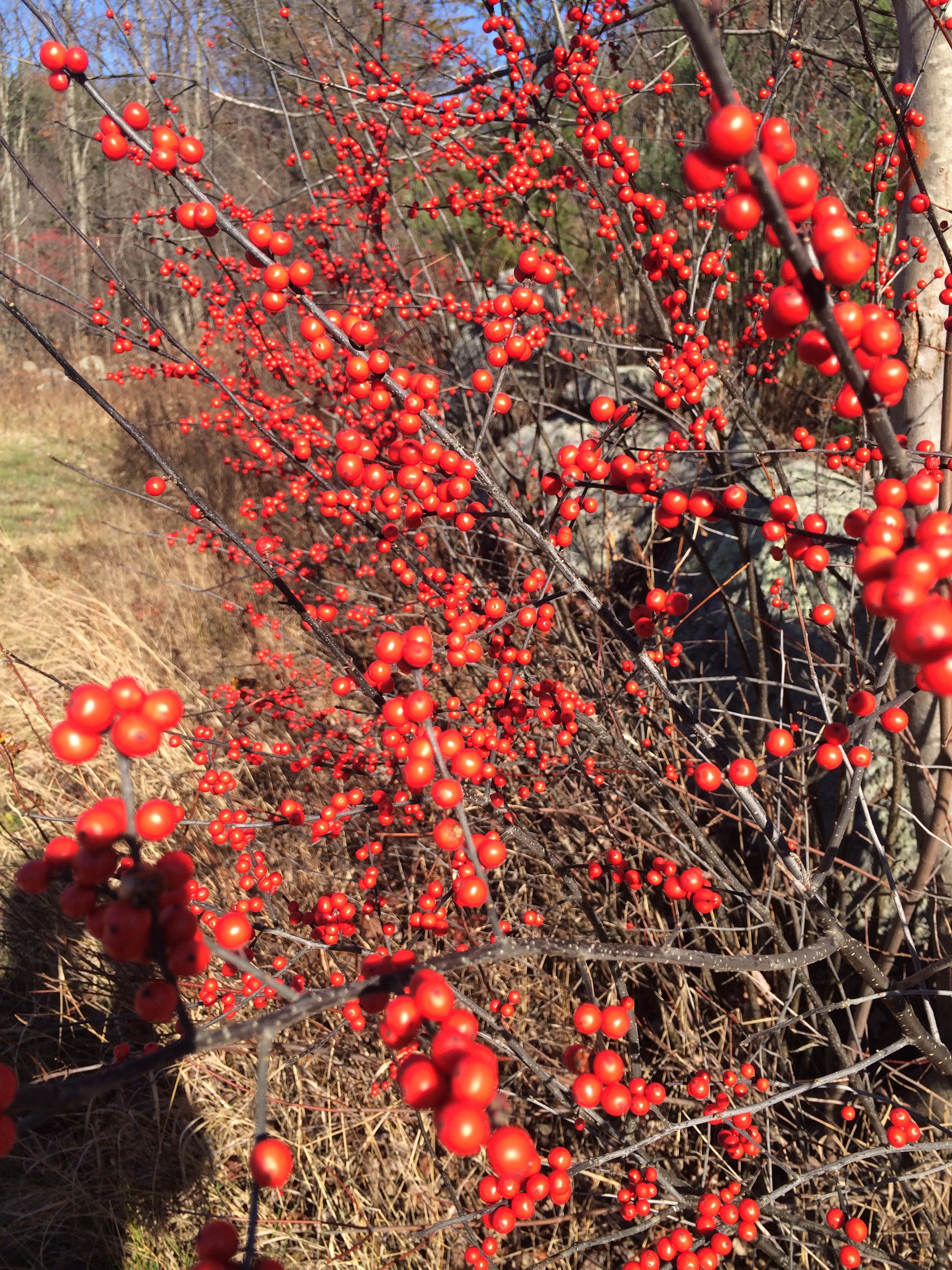
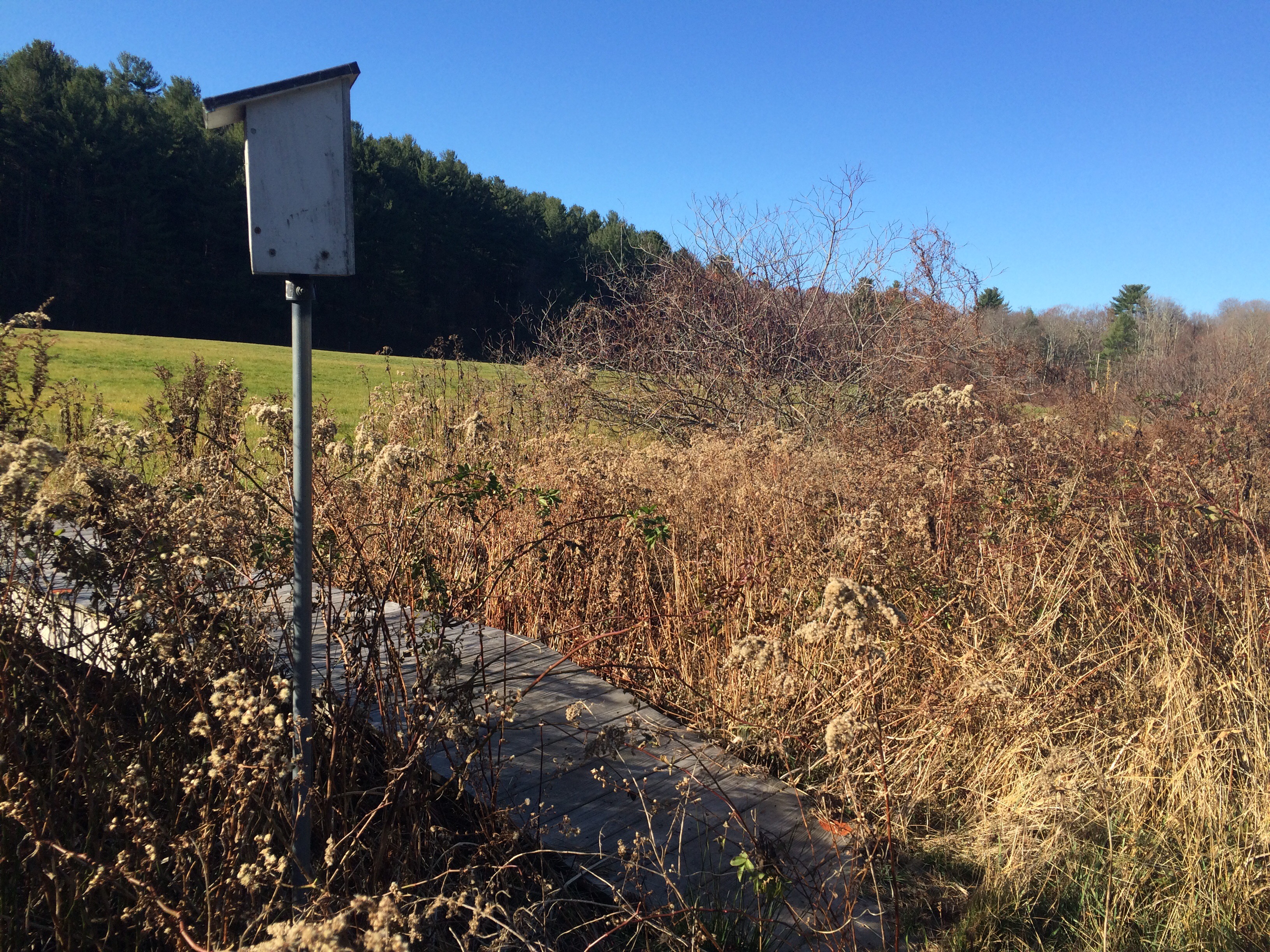
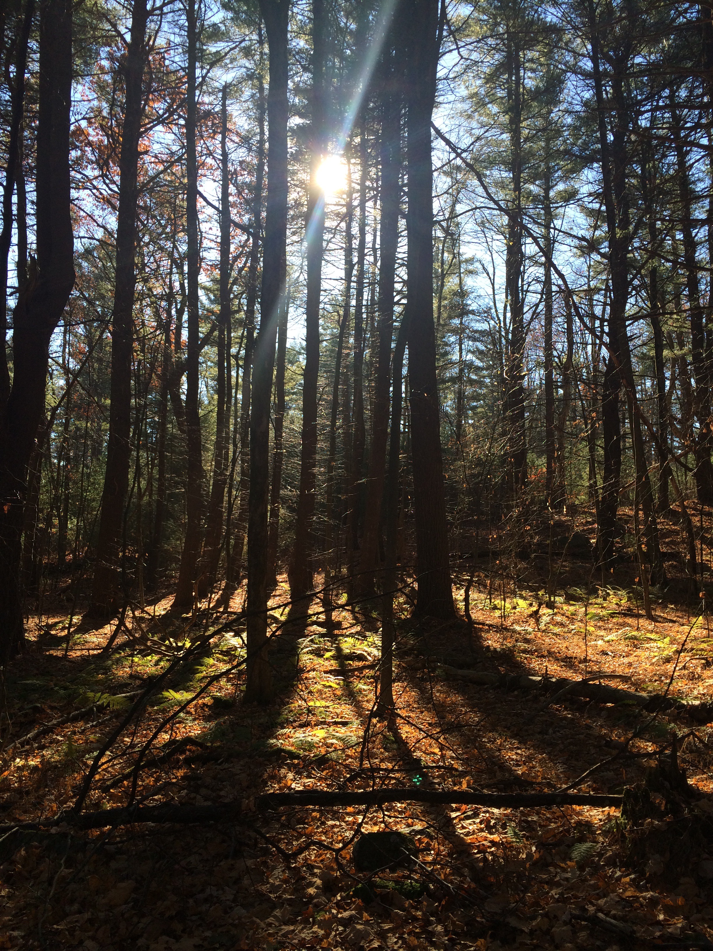
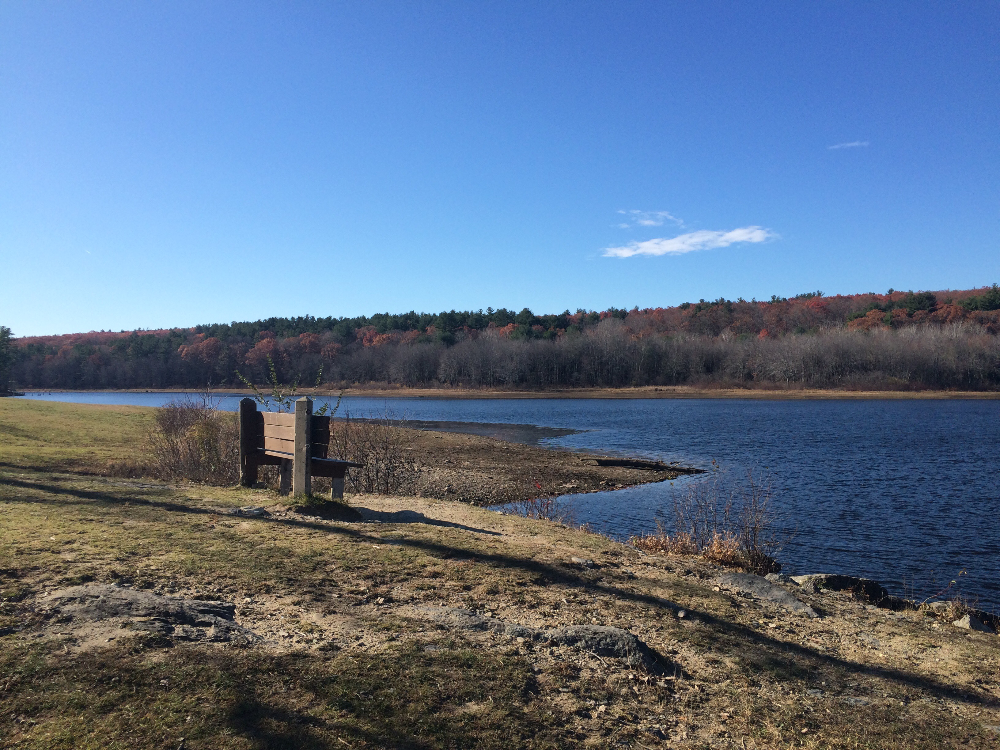
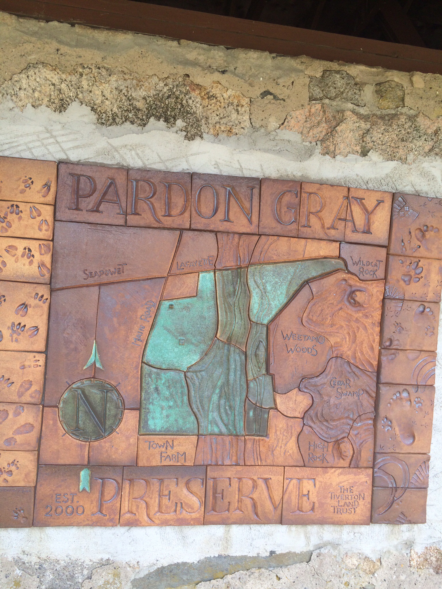
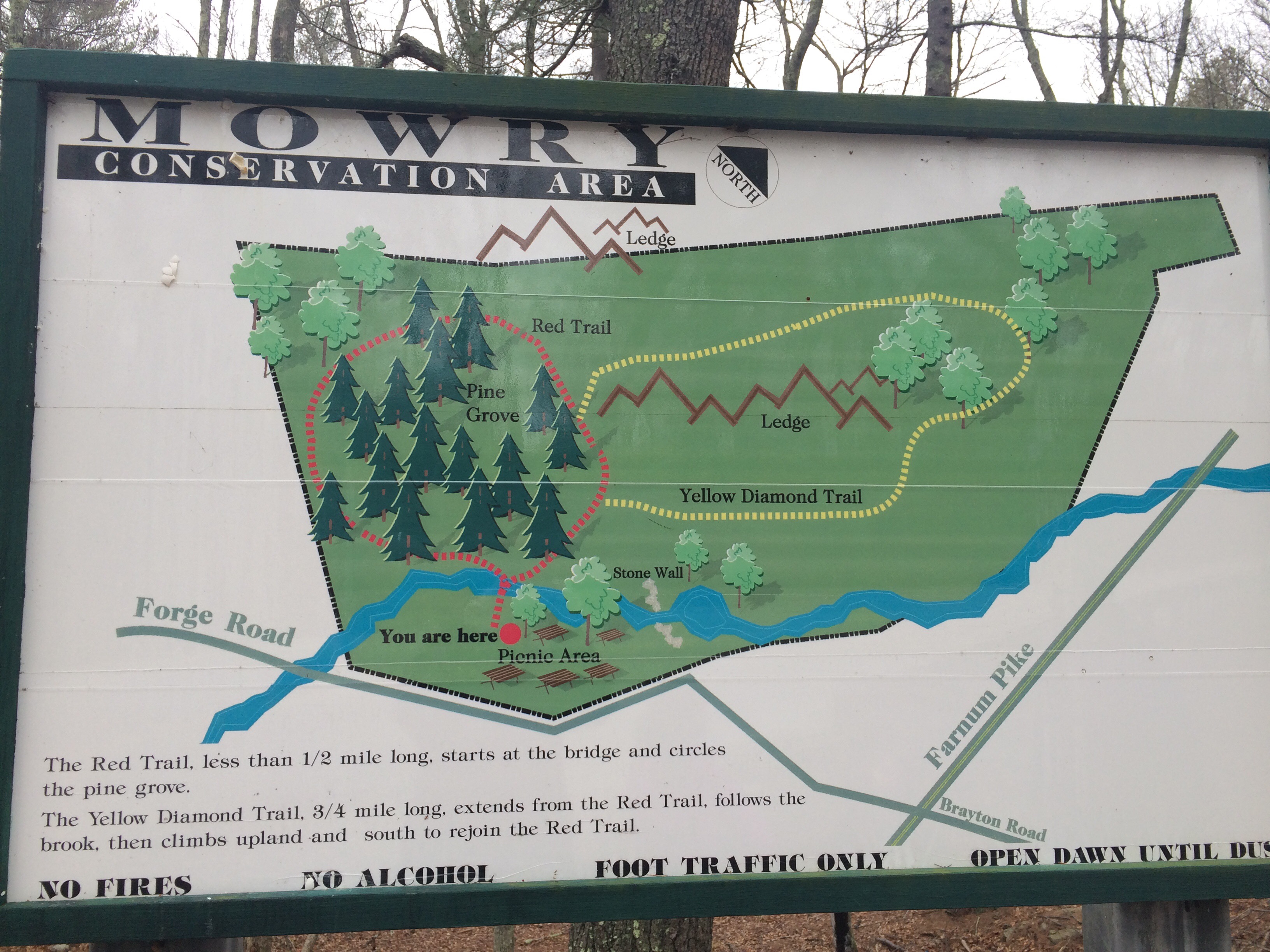
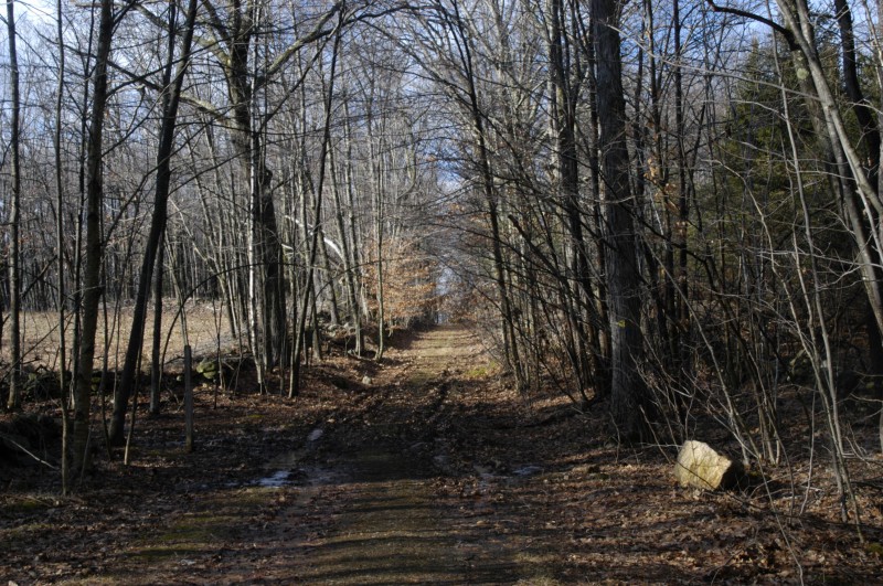
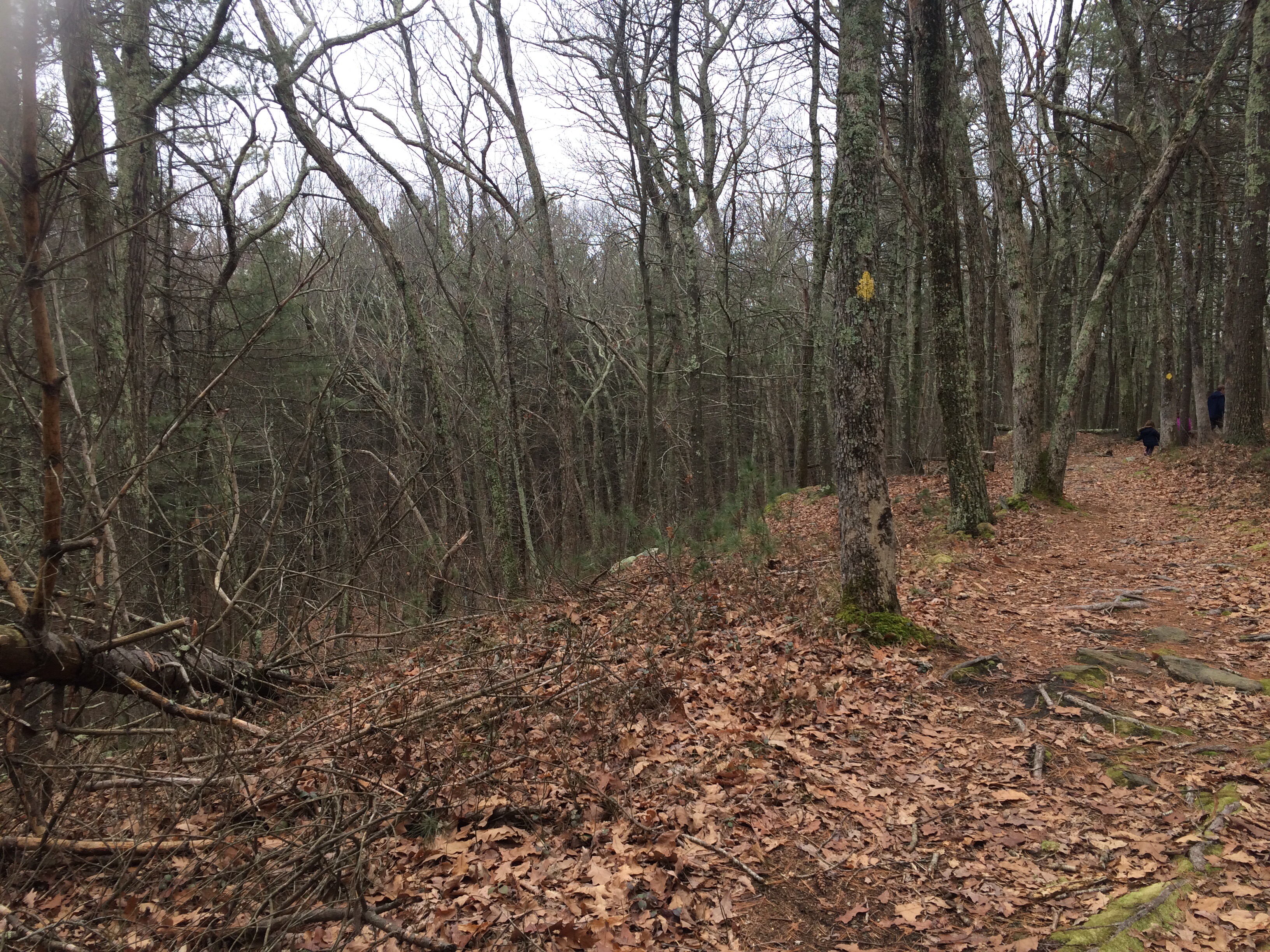
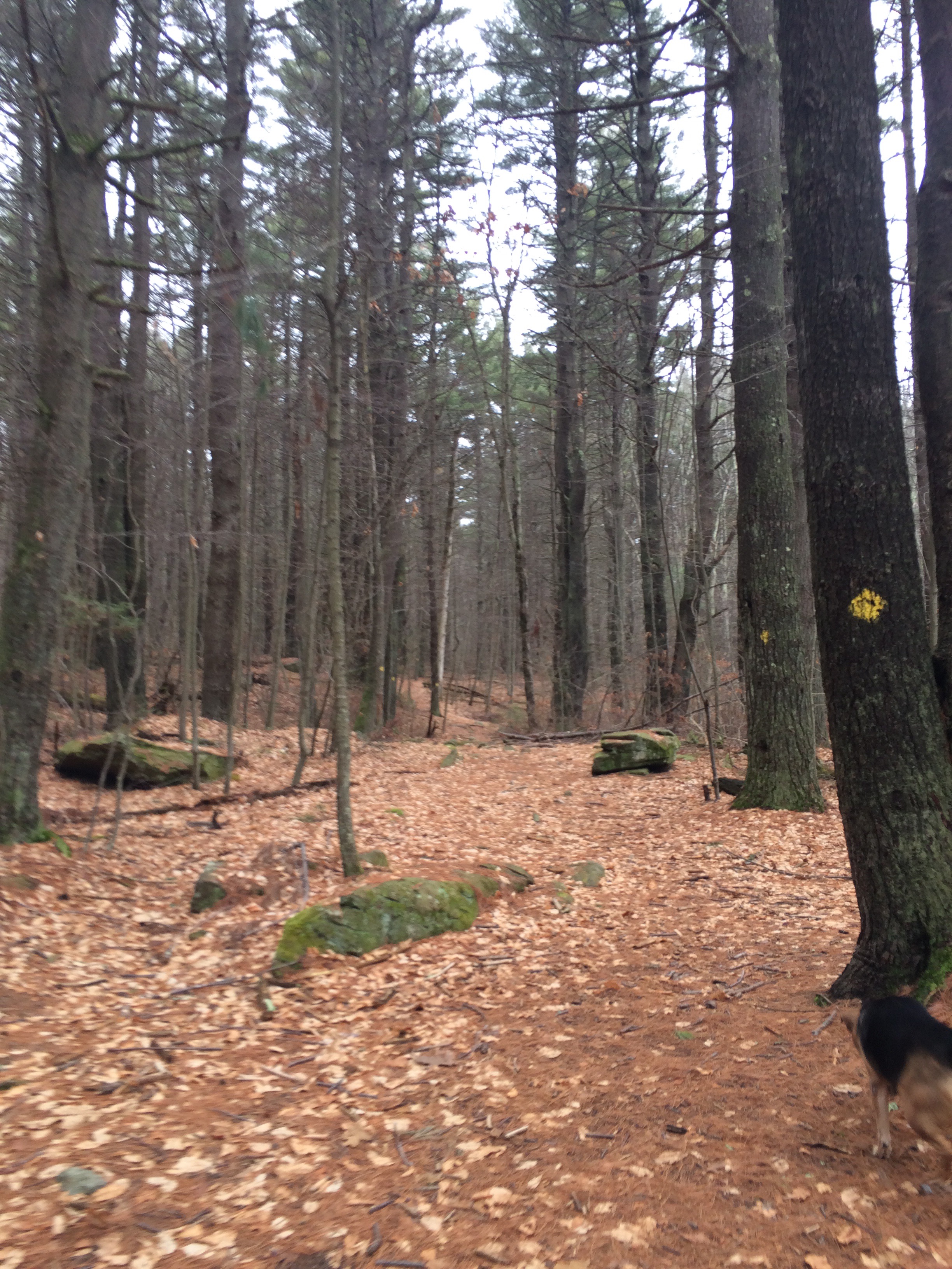
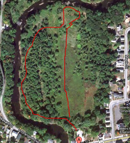
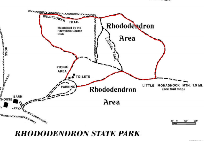
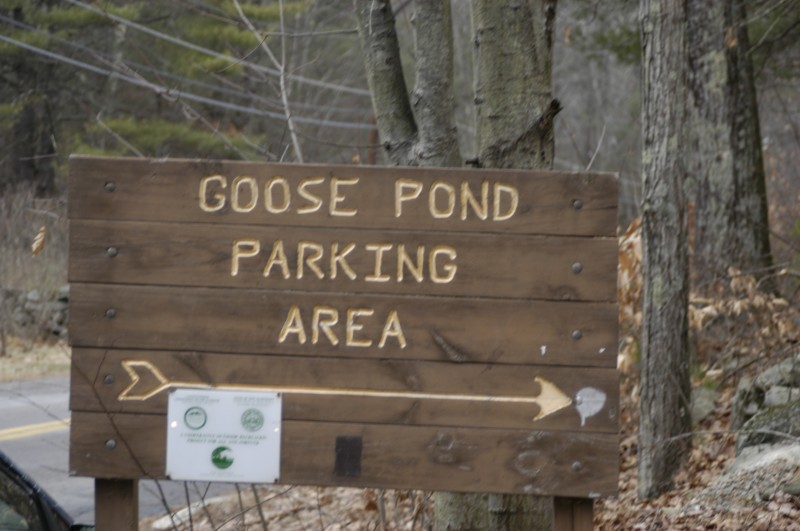
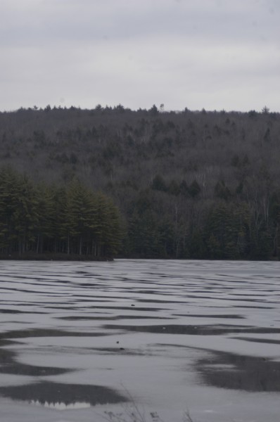
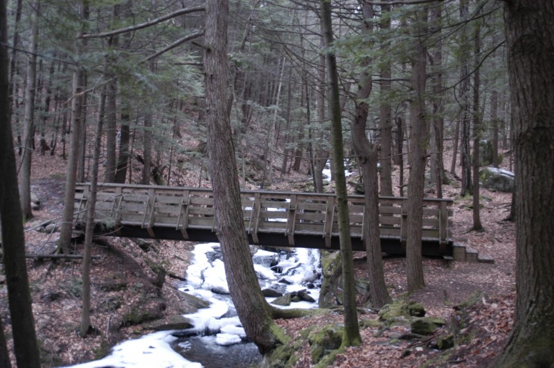
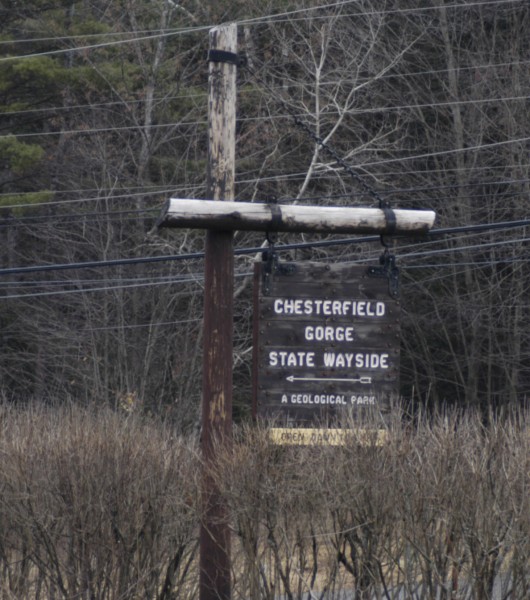
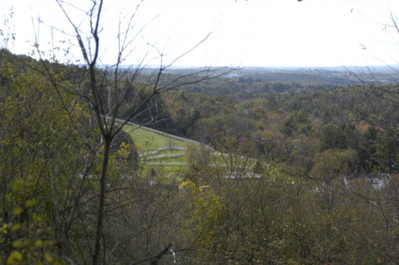
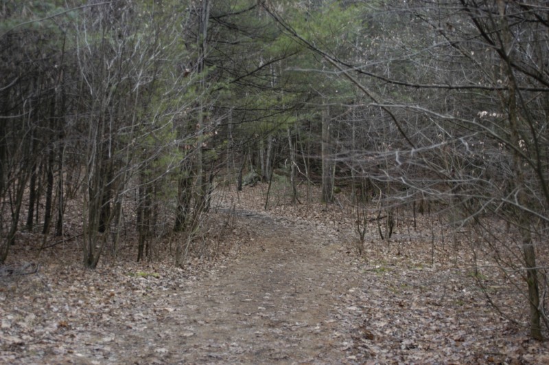
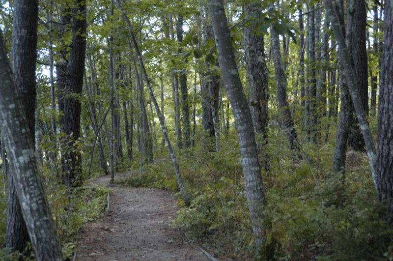
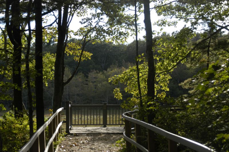
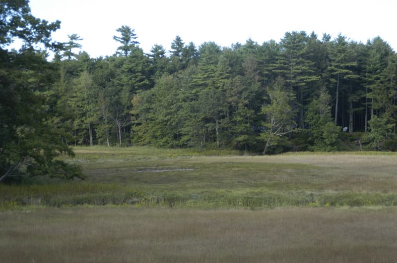
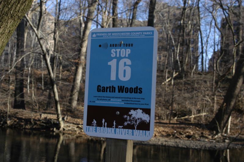
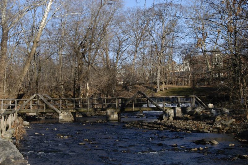
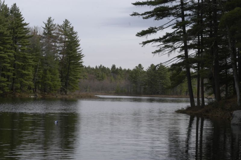
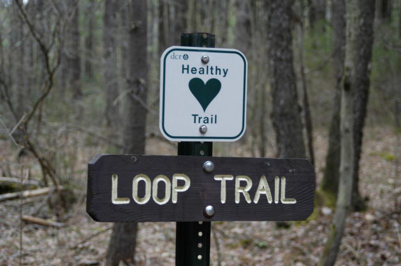
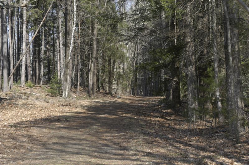
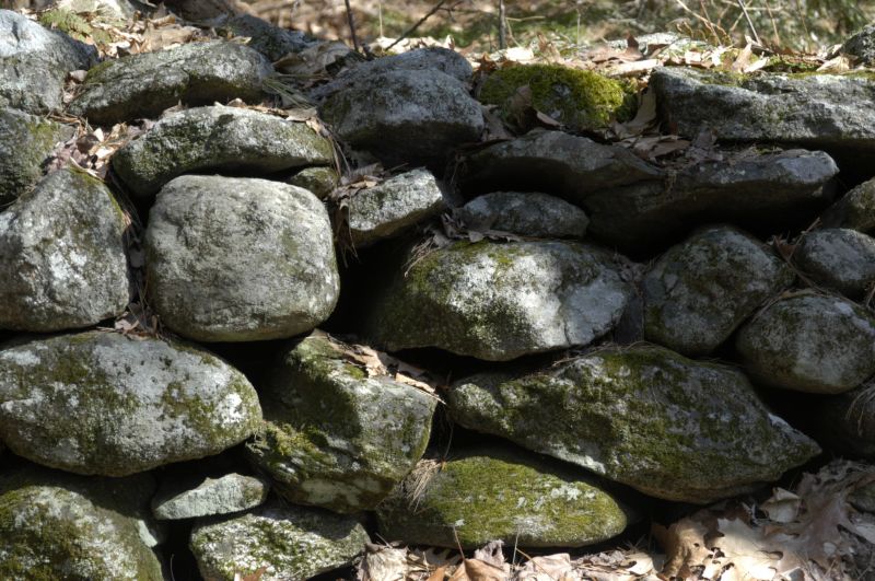
Gallery
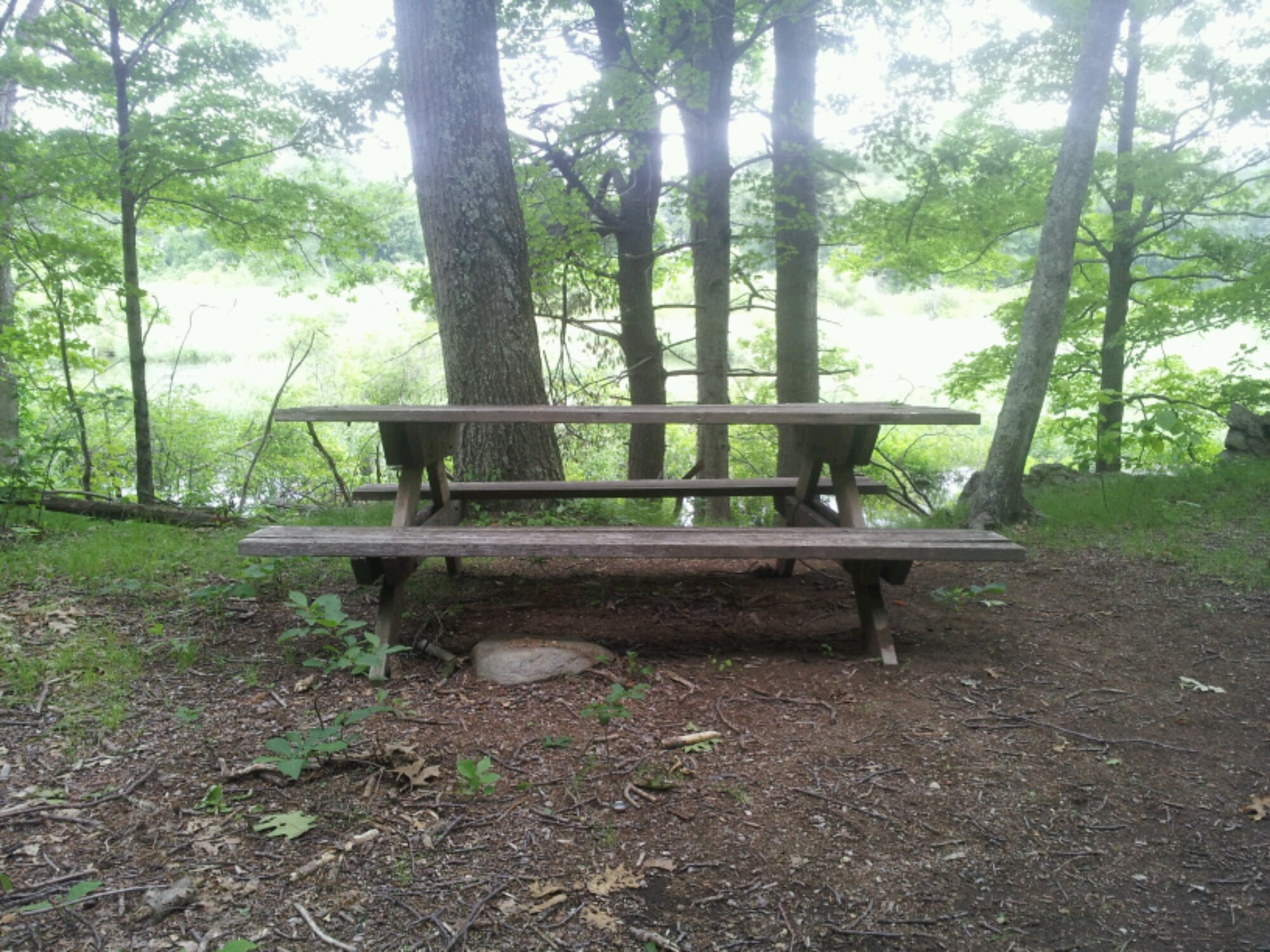
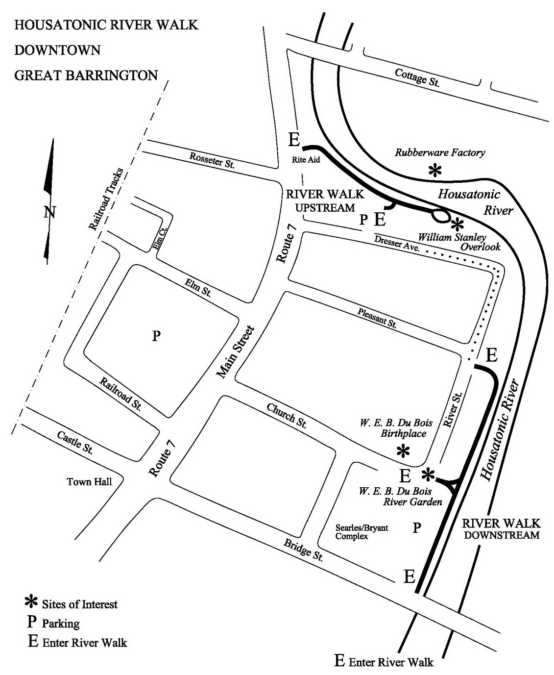
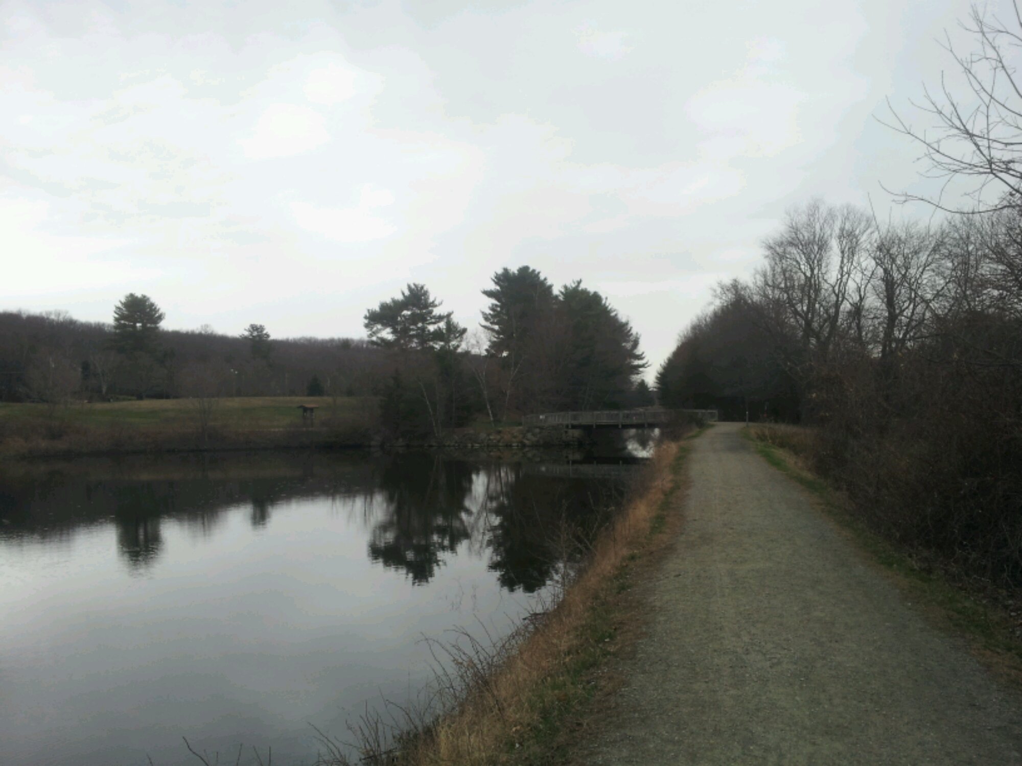
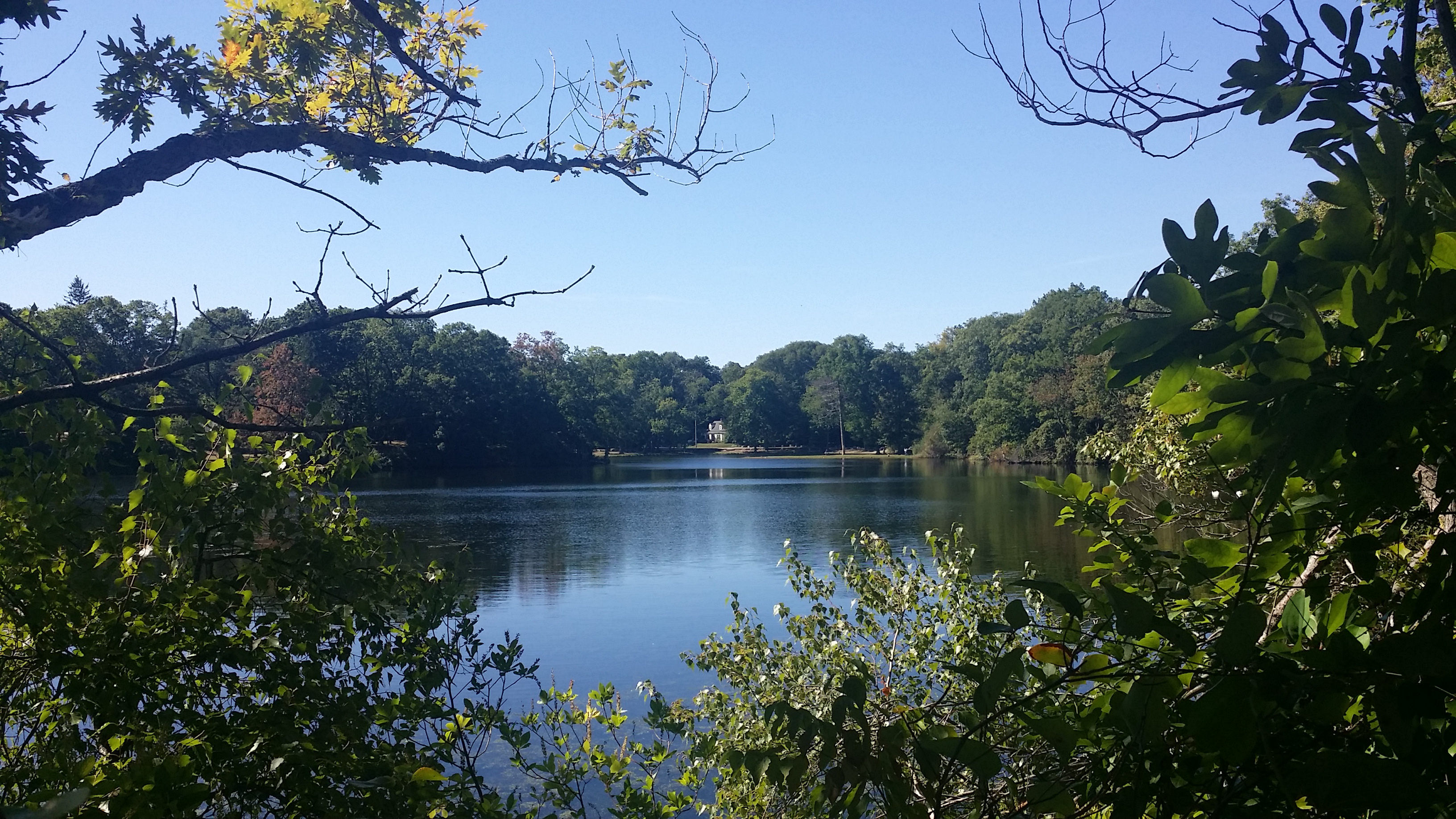
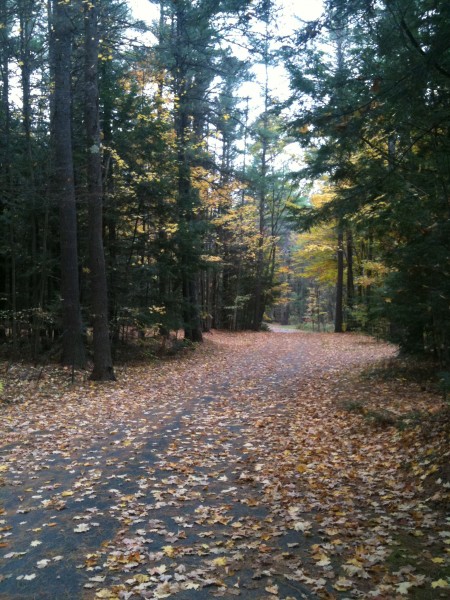
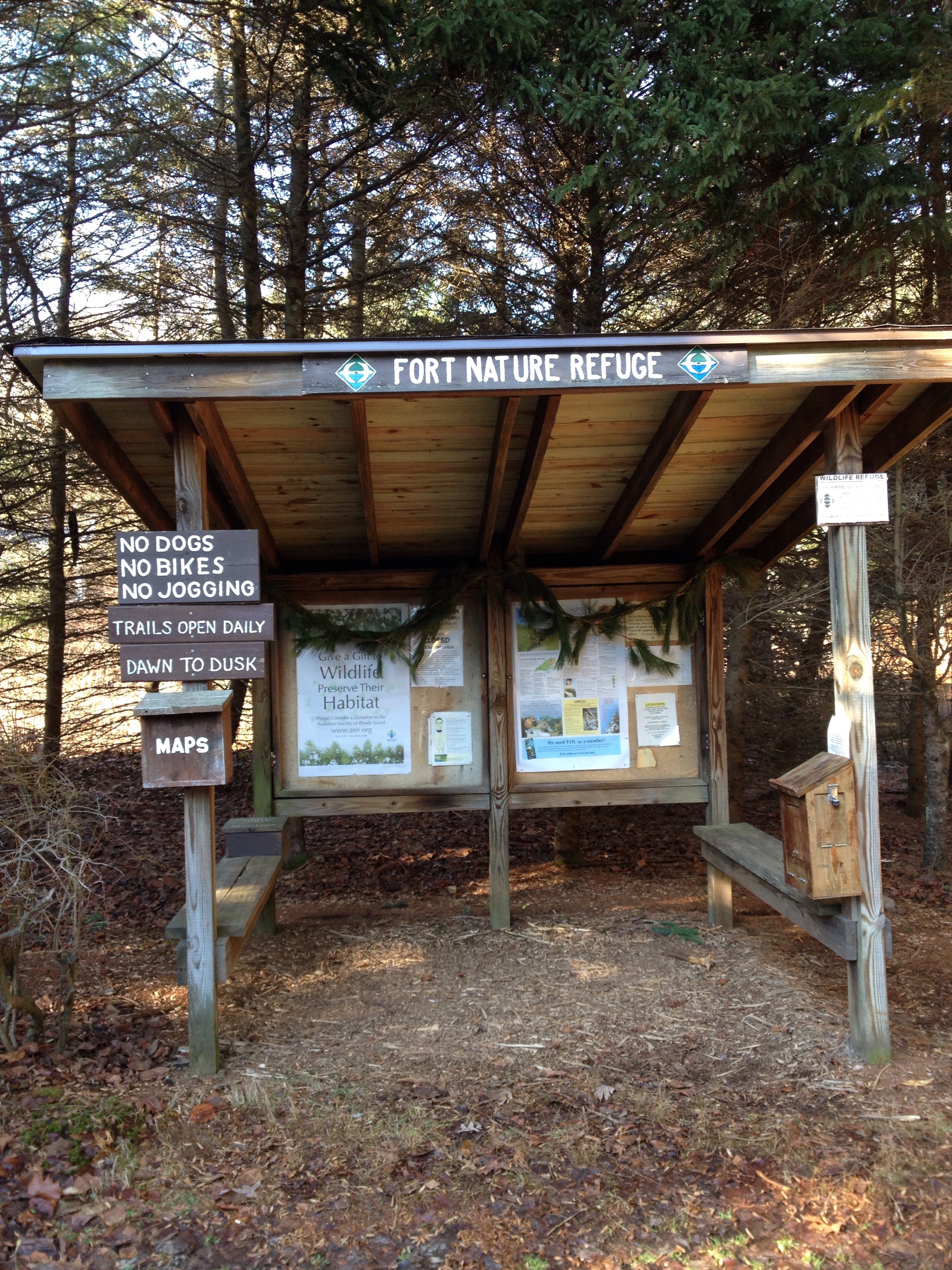
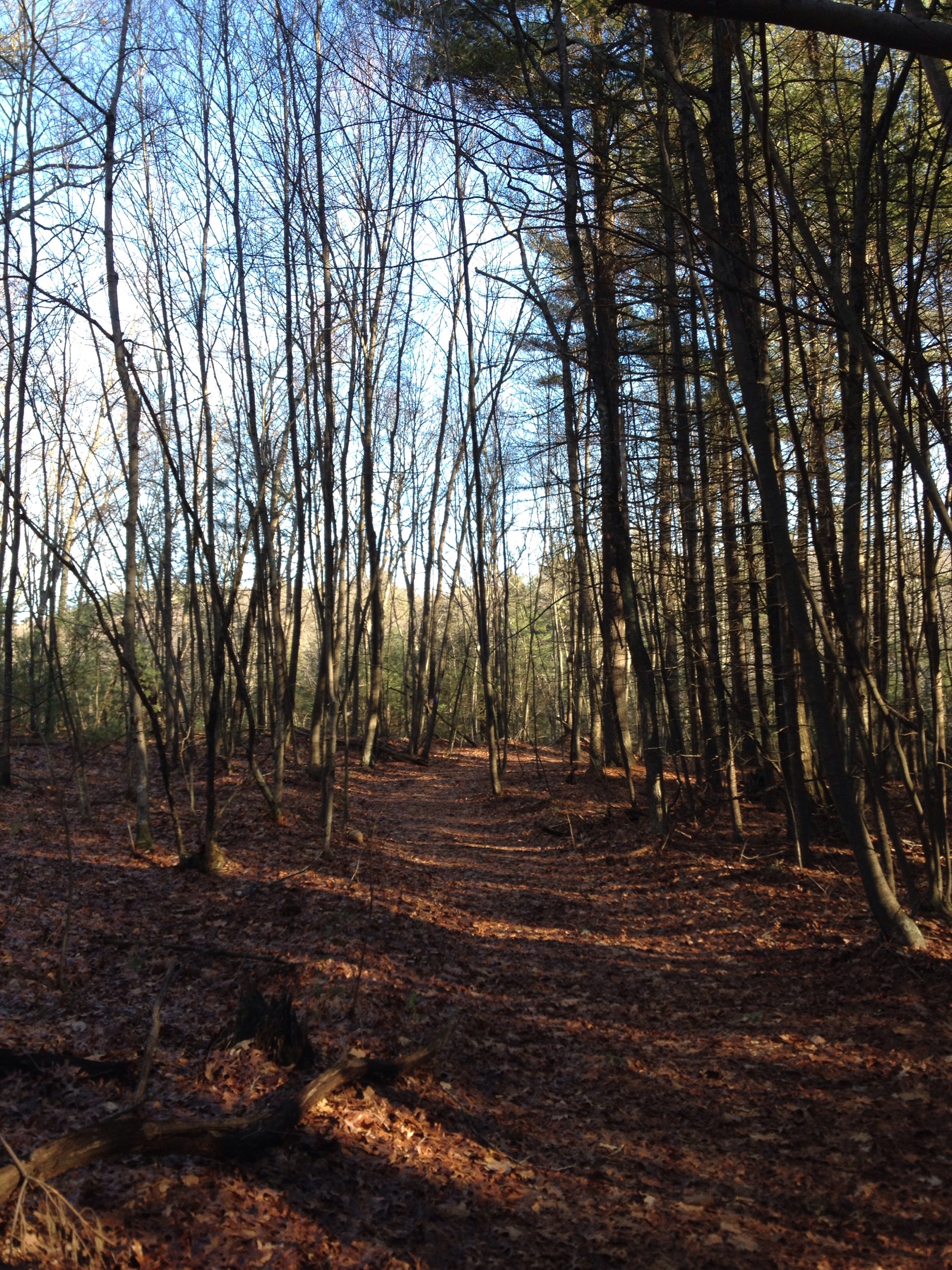
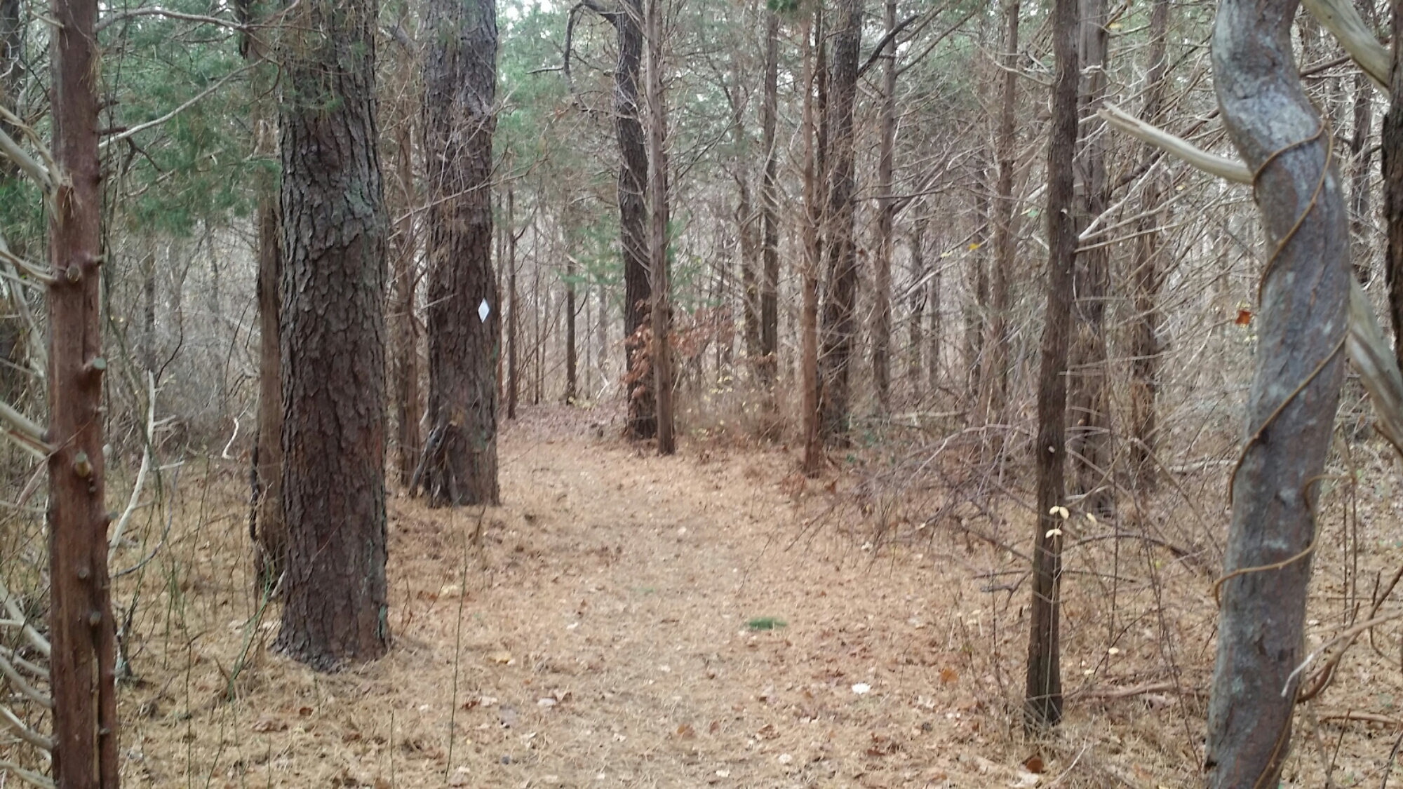
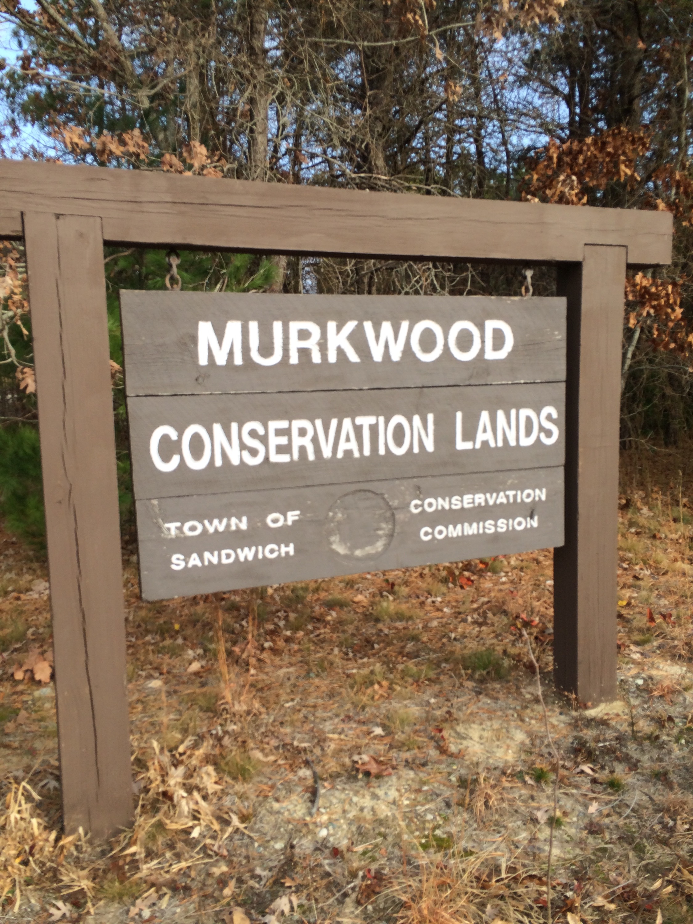
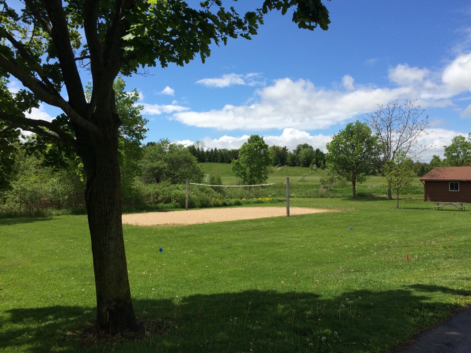
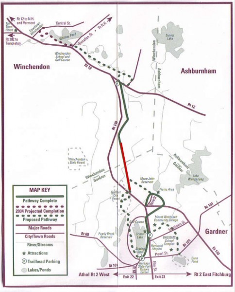
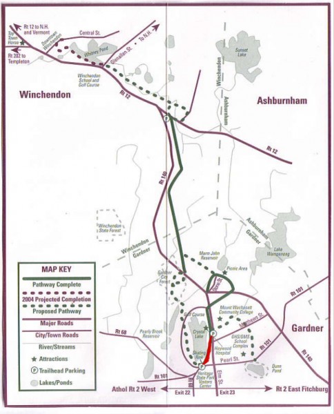
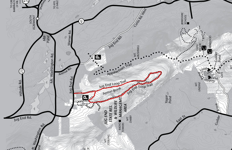
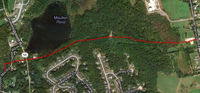
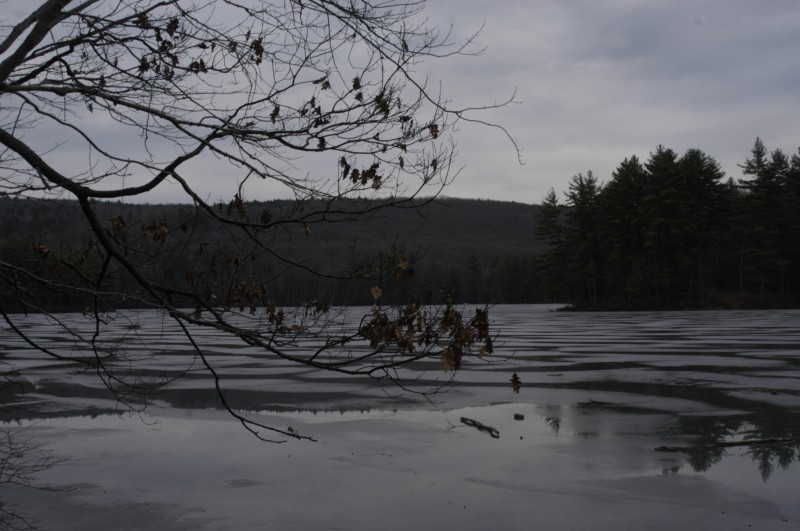
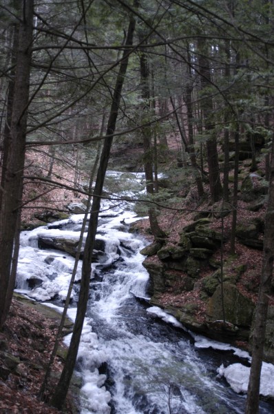
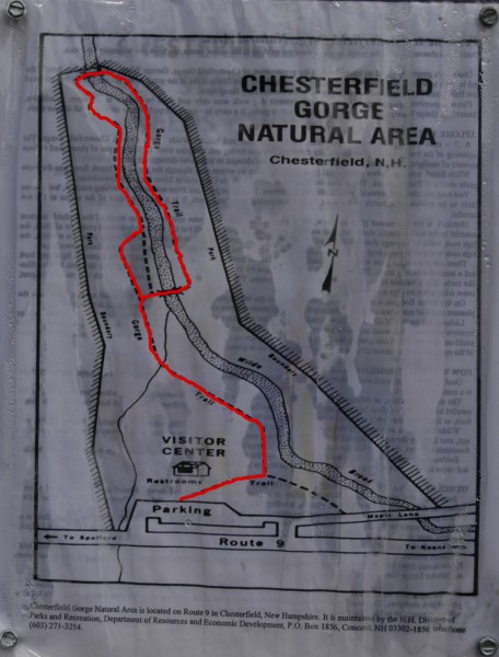
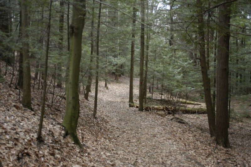
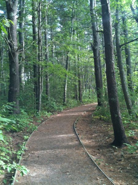
Click any picture to begin a slideshow.
View from Boardwalk
View of Trail Near the Beginning
Wendell State Forest Main Entrance
The Trail
Crossing the Brook
Robert Frost Trail
Wooden Boardwalk
House Dating Back to the 1700s
Farmhouse Along the Trail
Doyle Community Park Trail Map
Doyle Community Park Strollable Trail
Doyle Community Park Open Field
Trail entrance near American flag
Westmoor Park Garden
Bridge along trail
Geese at the Sanctuary
Long Grass Near the Lake
The Main Bikeway
The Trail Through a Meadow
Main Sign
Hockanum Hill Overlook Peak
Hockanum Hill Trail Head
Hockanum Hill Sign
Map of the Trail, Courtesy of Google Maps
Trail Map
The Bikeway
A Tall Bridge
Farmland Seen from Bikeway
Newgate Trail
Main Entrance Sign
Sign at Entrance
Footbridge Near the Entrance
Barn at the Trail Entrance
Interpretive Trail
Trail Map
Dirt Trail Detour
On Your Way Into the Conservation Area
Multi-use Trail
RI bikeway-historic house
Rhododendron Loop Trail
Wallis Pond Trail
Old rock walls
View of Wallis Pond
Wide, flat trail beginning
Trail Head Marker
Entrance
View of Water from Trail
Trail Sign
Grassy Part of Trail
Southern Entrance in Lanesborough
River Walk
Surrounded by Rhododendrons
Paved Walkway
Map of Trail. Credit: GBRiverWalk.org
View of Lake Dennison
The Paved Trail
The Perimeter Road
The first part of the trail
View from the Boardwalk
Alligator Sunbathing
The Boardwalk
Lizard at the Swamp
The Main Boardwalk
Much of the Park was Under Water One Spring Due to a Rapid Thaw
One of the Meadows
The Lake
Ponemah Bog Boardwalk
Submerged Leaves
View of the Meadow
Miller River
View of the Trail
Beaver Wetland
The Final Stretch of the Beaver Bend Trail
Beaver Bend Meadow
Beaver Bend Trail
Approximate Map, courtesy of Google Maps
Map of Trail Along Crystal Lake
Jug End Loop Trail Map
Trail Map
Map of Moulton Pond Stretch
Map of Stretch that Runs Next to Route 69
Dirt/Sand Trail Surface
Crossing the Connecticut River
Canalside Bike Trail
Map of Trails thumbnail
Evergreens along the trail
Park Entrance
Black Gum Swamp Loop Trail
Trail Map
First section of the Goose Pond Trail
View of the Pond
Looking Upstream
Chesterfield Gorge Bridge
Trail Map
Entrance Sign
An Old Carriage Near the Start of the Trail
Trail Map, courtesy of GrotonTrails.org
The Trail on the Gentle Climb
View of Local Horse Farm
Trail Map
Rachel Carson Trail
A Platform Overlook
View of the Marshes
Trail Map
The Long Way to the Falls
The Falls
Trail Map
The Railway Trail
View of the Contoocook River
Wooden Bridge
You walk under this short bridge
Stop and hear about Garth Woods
Bridge over Bronx River
Cooks Canyon Overlook
Rock Walls Line the Trail
Wide Trail Near the Start
Ruggles Pond – View from Beach
Cooks Canyon Trail
Leave a Reply